Drone Mapping & Surveying

Aerial Media || 3D & Photogrammetry || Aerial Mapping & Surveys || Thermal Imaging || Assets Inspection

Aerial Mapping and Drone Surveys Services

Serving Your Aerial Surveying Needs with Care and Precision for over a century, unmanned aerial vehicle (UAV) technology has evolved dramatically. At Upload Enterprise, we stay attuned to these advances, integrating cutting-edge drones and techniques in our aerial surveying and mapping services. Our goal is to understand your unique needs and provide customized solutions that solve real-world challenges with care, skill and technological innovation.

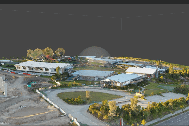
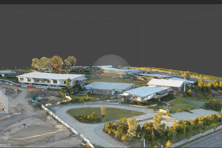
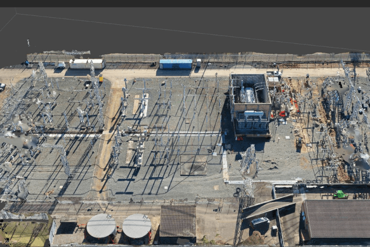
Our team brings together seasoned surveyors, geospatial experts and UAV specialists. By leveraging the strengths of our personnel and equipment, we delivery highly-accurate topological maps and 3D terrain models with resolution and precision down to the centimeter. With swift data turnaround, our customers gain actionable insights to make informed decisions quickly.

We take pride in offering an aerial surveying and mapping experience that sets new standards for responsiveness, accuracy and technical expertise. Upload Enterprise takes a human-centric approach focused on tailored solutions, clear communications and developing lasting partnerships with our clients. Let us know how we can help assess and map your landscape to support your organizational goals.

What is a Drone Mapping?

Drone mapping has revolutionized aerial surveying and data analysis, providing detailed insights quickly across industries. Equipped with high-resolution cameras and GPS systems, our specialty survey drones can efficiently capture images and topographical data for your infrastructure and property needs.

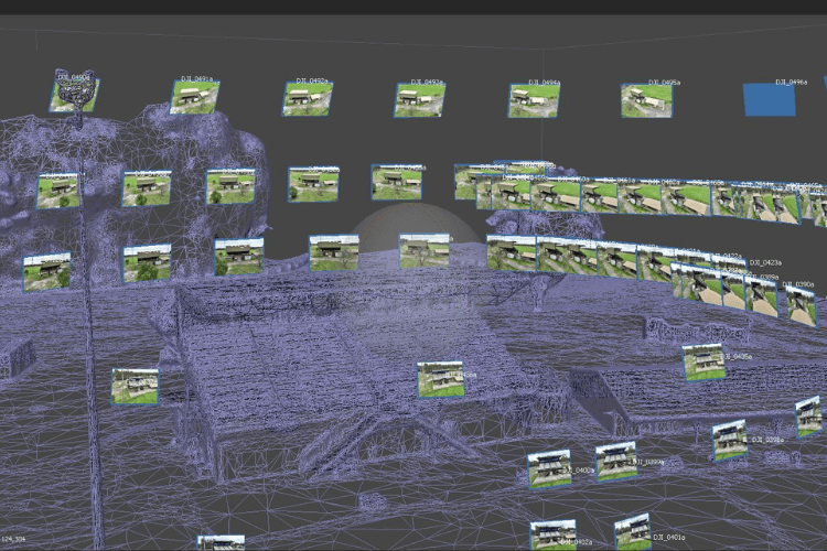
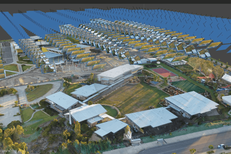
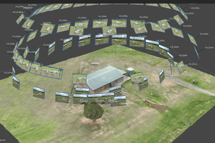
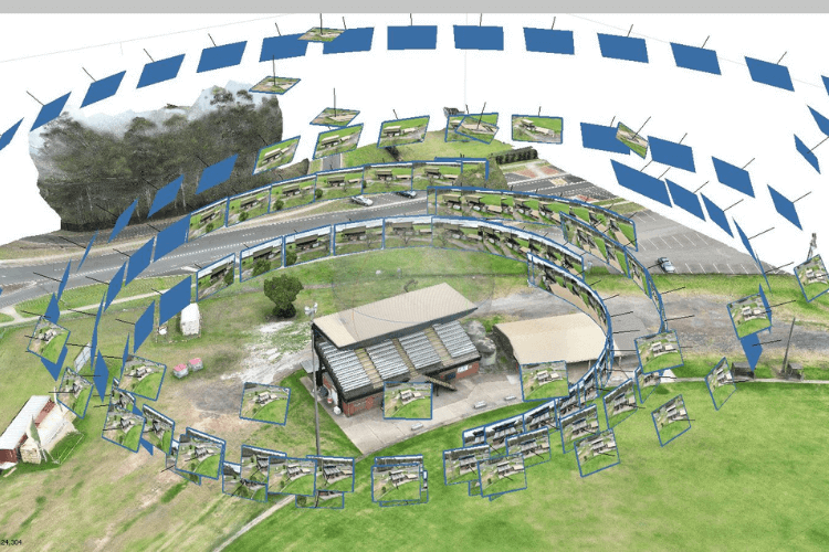
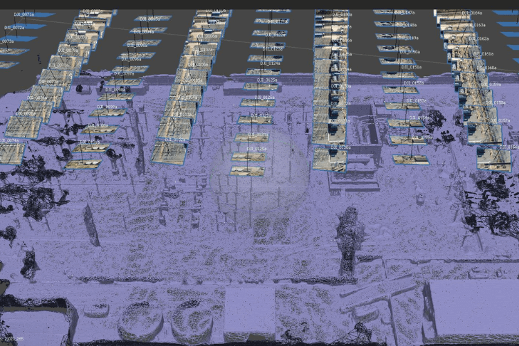
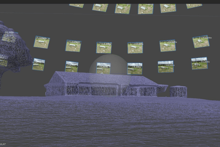
Our advanced drone systems are designed specifically for in-depth mapping missions. They can reach any terrain or location easily, photographing from optimized aerial angles. This enables the collection of extensive overlapping visual coverage not possible manually.

What is a Drone Survey?

A drone survey is the use of drones or unmanned aerial vehicles (UAVs) equipped with RGB cameras, multispectral cameras,  payloads to collect data. And then this data is transmitted to special equipment on the ground near the UAV operator. The end result of drone land surveying is a finished map of detail at a given scale, presented in digital format.

Surveying drones can fly at much lower altitudes than traditional techniques like manned aircraft or satellites, providing high-resolution, high-precision images faster and cheaper, and independent of weather conditions such as cloud cover.

Why use Drone Surveying and Aerial Mapping?

Drones can acquire data from vantage points that are not accessible to humans, especially those areas with challenging terrains. There is no need for human operators to measure points in hazardous locations physically, rather the drone can fly over an area, capturing the same amount of data in a shorter time frame.

For the best drones for land surveying, Upload Enterprise Drones provides a comprehensive drone surveying solution, which has released drones that can carry different functions according to the different needs of users.

Application of Drone Mapping and Surveying

Drone surveys, like traditional methods, tackle diverse tasks. Boundary marking, historical preservation, and legal documentation are common uses. They also guide construction projects by pinpointing locations and shaping land for buildings, roads, and more.

Projects We Have Worked On

Our Videos

Trusted By

Frequently Asked Questions

Depends on your budget and needs! Popular choices include:

Entry-level: DJI Phantom 4 RTK, Autel EVO II Pro RTK V3 (affordable, accurate)
Mid-range: DJI Mavic 3 Enterprise (compact, high-res), Yuneec H520 RTK (rugged, thermal option)
High-end: DJI Matrice 350 RTK (heavy-duty), WingtraOne GEN II (fixed-wing, long flight), AgEagle eBee X (autonomous, large areas)
Accuracy depends on several factors, including drone model, sensors, flight planning, and post-processing techniques. Most professional drones with Real-Time Kinematic (RTK) technology can achieve centimeter-level accuracy. However, basic GPS-based drones may only reach meter-level accuracy.

Our standard deliverables include:

  • High-resolution imagery
  • Surface/terrain models with contours.
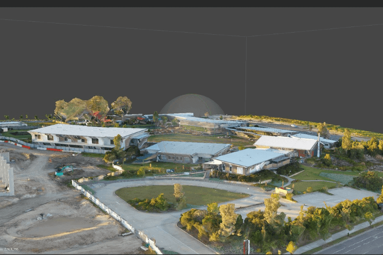
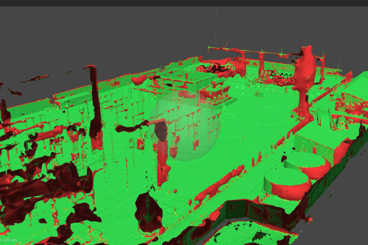
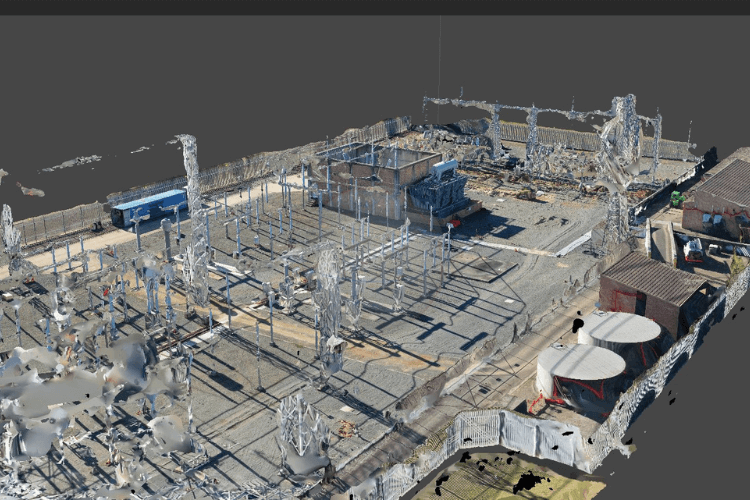
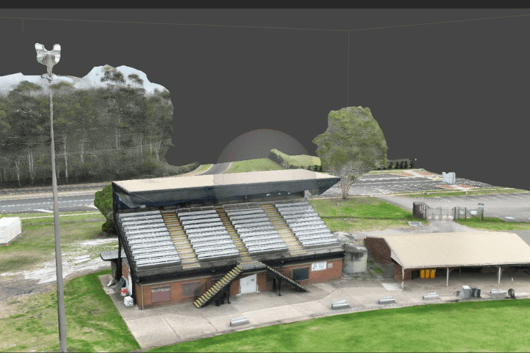
  • Other deliverables include 3D reality modelling for digitising as-built assets.

Why You Should be Using Upload Enterprise Drones

Upload Enterprise is a leading provider of commercial aerial mapping, drone surveys and aerial photography. We are CASA certified and fully insured, and we offer a wide range of services, including Lidar mapping, thermal mapping, multi spectral mapping, and astrophotography.

Drop your Inquiry Here