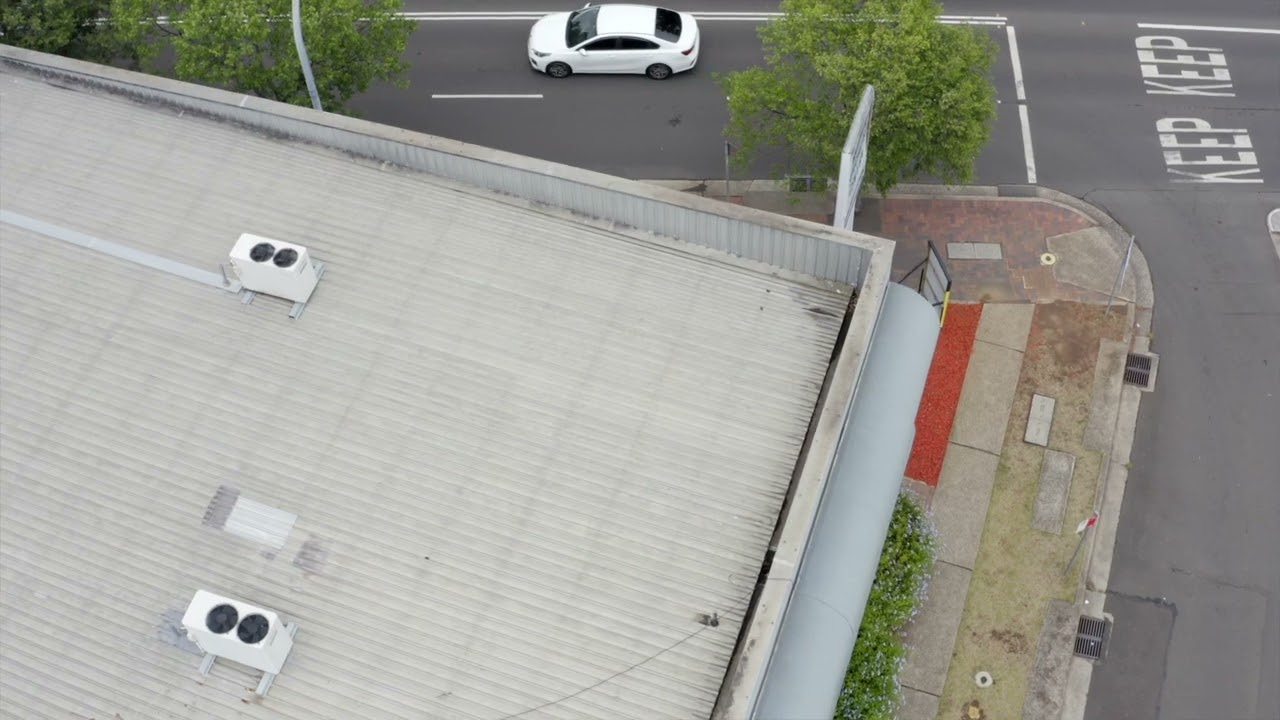
Aerial Thermal Mapping and Thermal Inspections
Aerial Media || 3D & Photogrammetry || Aerial Mapping & Surveys || Thermal Imaging || Assets Inspection
- Infrared Intelligence
Aerial Thermal Mapping and Thermal Inspection Services
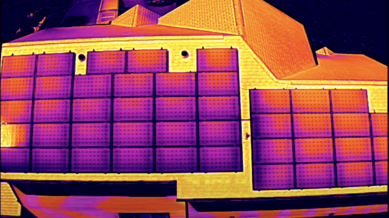
Aerial thermal mapping using drones can deliver essential insights into the performance of critical assets such as commercial solar panel arrays, solar farms, industrial and commercial roof surfaces, vegetation areas, environmental areas and commercial crops.
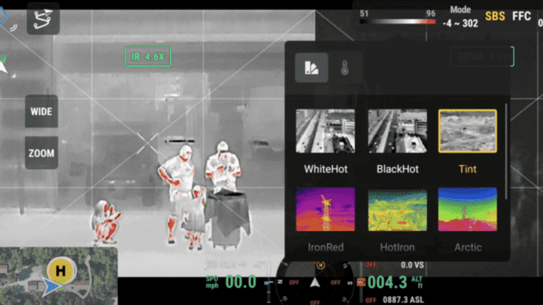
Upload Enterprise delivers specialised thermal imaging services using enterprise grade radiometric thermal sensors like the DJI H20T, which can capture both thermal images and thermal video, to provide both relative and actual temperature readings even over very large areas. We also can deliver centimetre precision data so your team can go straight to the detected issue, every time.
What is a Thermal Inspection?
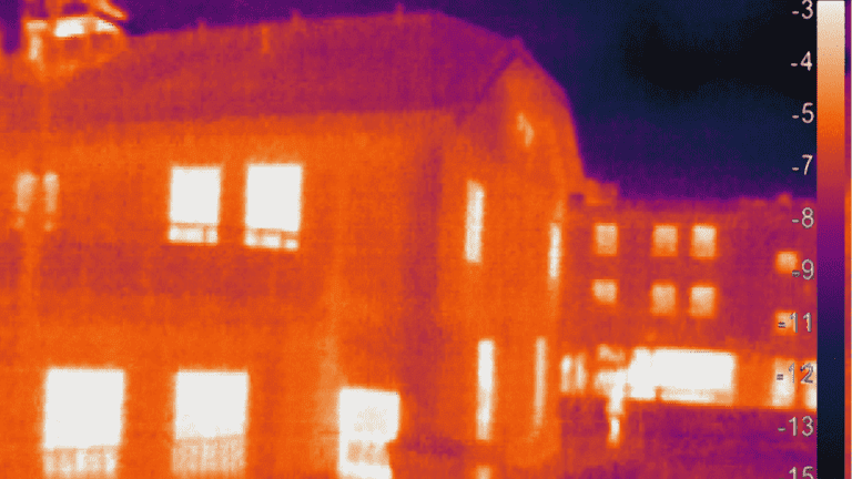
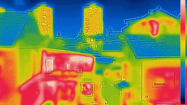
Drone thermal inspection involves using unmanned aerial vehicles (UAVs) equipped with infrared sensors to detect temperature variations in various structures and systems. This method is used to identify issues such as water leaks, moisture damage, electrical faults, and thermal defects in roofs, solar panels, and other assets.
Drone thermal inspections are safer, faster, and more cost-effective than traditional methods, and they provide detailed, high-resolution thermal images that can be analyzed to assess the condition of assets and make informed decisions about maintenance and repair.
What are the benefits of Aerial Thermal Mapping and Thermal Inspection?
Even the most novice user knows that drones can be used for photography. The availability of unmanned aerial photography has led to its use in many sectors and produced incredible images. But is it good enough for your next mapping or surveying job? Let’s take a look at some of the advantages of using drones for mapping and surveying.
Why use Aerial Thermal Mapping and Thermal Inspection?
Drones can acquire data from vantage points that are not accessible to humans, especially those areas with challenging terrains. There is no need for human operators to measure points in hazardous locations physically, rather the drone can fly over an area, capturing the same amount of data in a shorter time frame.
For the best drones for land surveying, Upload Enterprise Drones provides a comprehensive drone surveying solution, which has released drones that can carry different functions according to the different needs of users.
Application of Aerial Thermal Mapping and Thermal Inspection
Drone surveys, like traditional methods, tackle diverse tasks. Boundary marking, historical preservation, and legal documentation are common uses. Aerial thermal mapping and thermal inspection have numerous applications across various industries and sectors.
- Roof, Tower, and Spire Inspections
- Solar Panel and Solar Farm Inspections
- Environmental and Agricultural Mapping
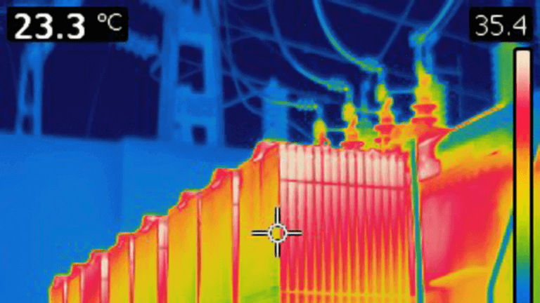
- Power Transmission and Distribution Assets
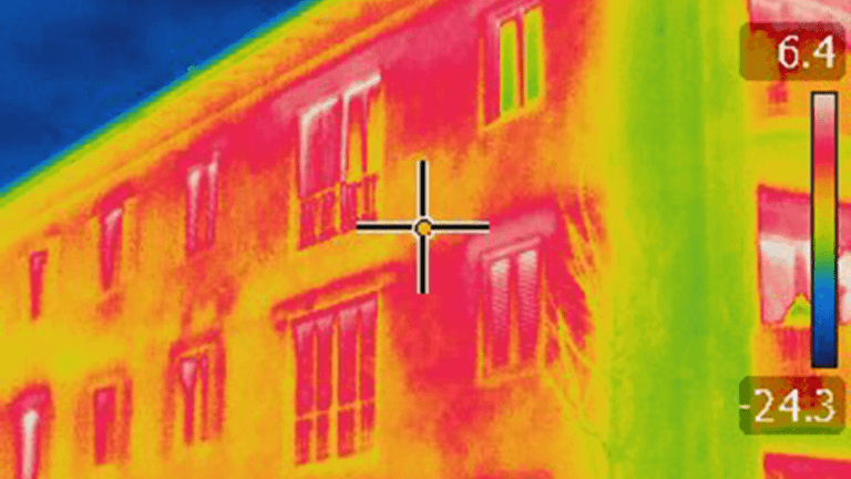
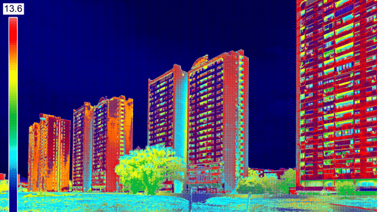
- Building Inspections
- Thermal Building Inspections
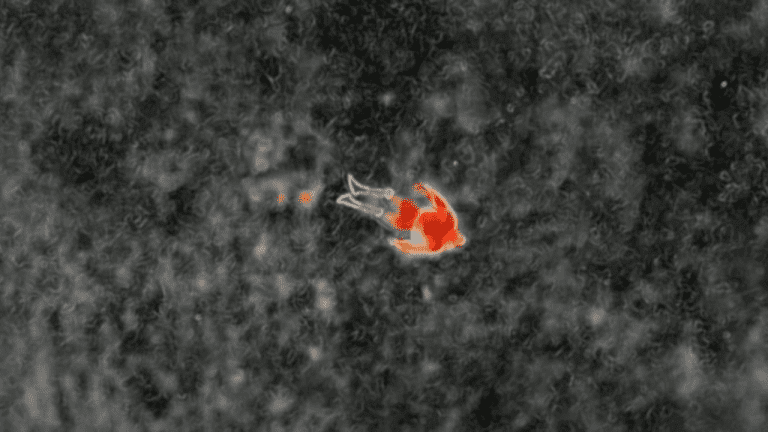
- Search and Rescue
- Wildlife Monitoring
- Agriculture
- Environmental Monitoring
- Search and Rescue
- Gas Leaks
- Industrial Inspections
- Firefighting
- Automotive Industry
- Chemical Industry
- Electronics and Electrical Industry
Projects We Have Worked On


Our Videos
Trusted By


Frequently Asked Questions
Aerial thermal mapping provides a safe, efficient, and cost-effective way to collect data inaccessible by traditional methods. It offers unparalleled insights into hidden issues, allowing for proactive maintenance, improved efficiency, and reduced costs.
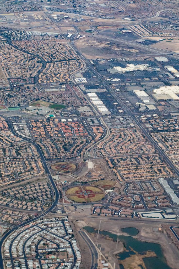
Thermal inspections reveal temperature variations across your assets or environment, highlighting potential problems such as leaks, hotspots, inefficiencies, and structural weaknesses.
Costs vary depending on the size and complexity of the project. Contact Upload Enterprise for a free consultation and quote.
Why You Should be Using Upload Enterprise Drones
Upload Enterprise is a leading provider of commercial aerial mapping, drone surveys and aerial photography. We are CASA certified and fully insured, and we offer a wide range of services, including Lidar mapping, thermal mapping, multi spectral mapping, and astrophotography.
- Certified and licensed by CASA
- Public Liability Insurance of $12 Million
- Professional Liability Insurance of $6 Million
- Safety assessments for jobs
- Mine/Construction Spec Vehicles and Full PPE
- Drone fleet of the future
- GNSS ground control with PPK precision