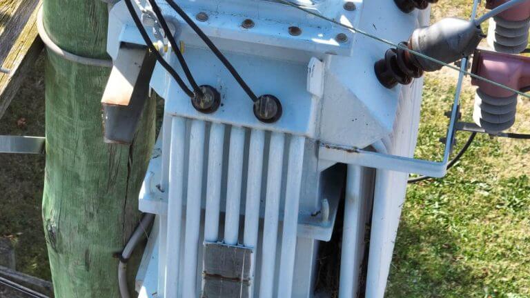
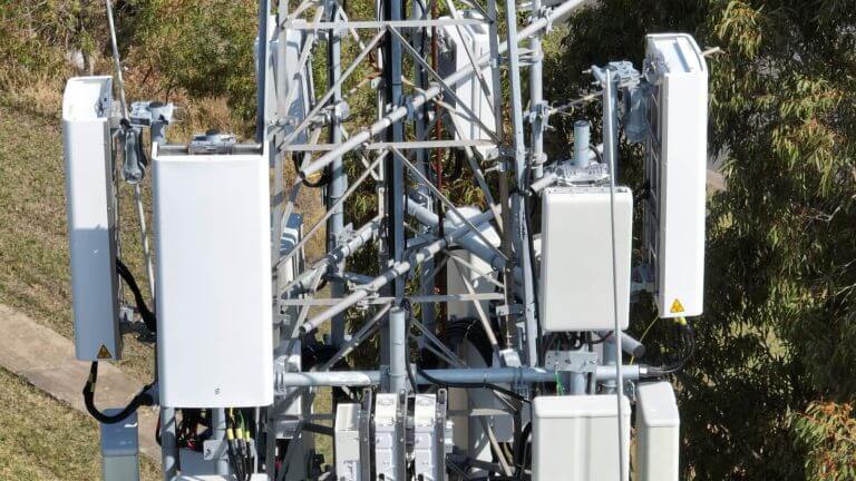
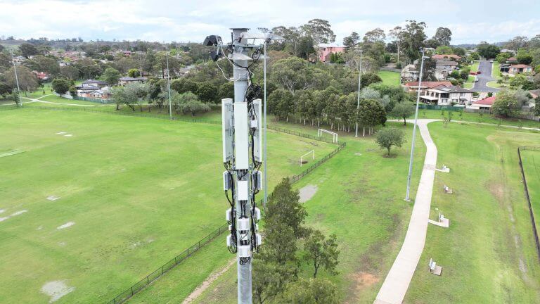
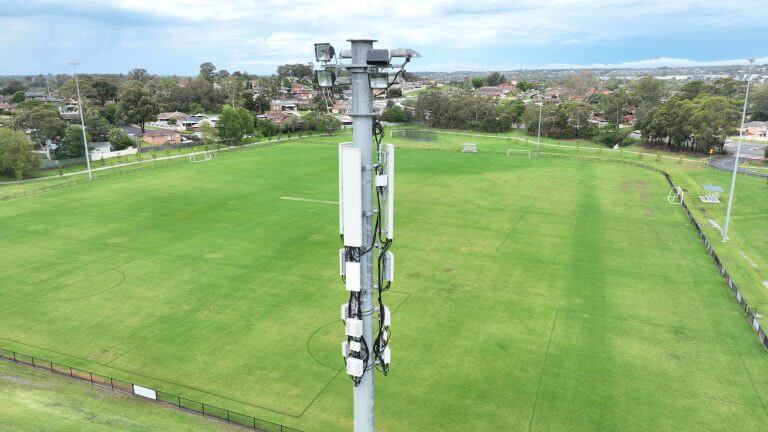
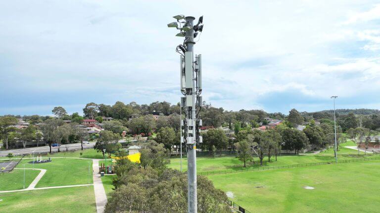
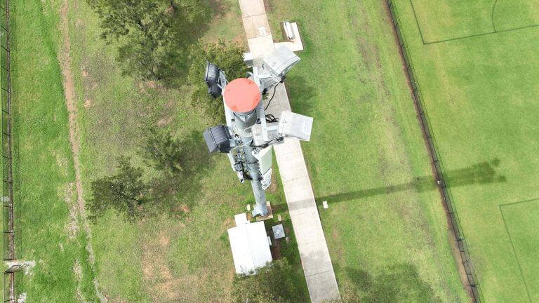
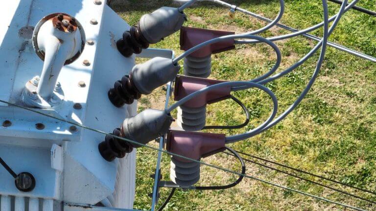
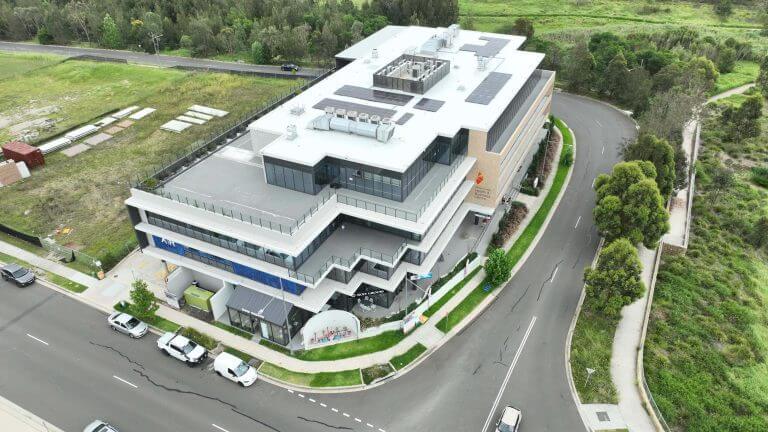
Drone Asset Inspection Services involve using unmanned aerial vehicles (UAVs) to perform visual checks and gather data on large assets for maintenance purposes. These inspections increase efficiency, protect inspectors from dangerous conditions, and allow for remote monitoring through a drone’s camera. Drone inspections are used in various industries, including power lines, construction sites, wind farms, railways, oil & gas rigs, and more. Drones can be equipped with visual cameras, thermal imaging cameras, and other sensors to conduct different types of inspections.
Drone inspections can dramatically reduce the high costs, safety risks, and time involved with conventional inspection methods. Companies can either purchase a drone or hire a drone-inspection-service company. UAV platforms are not intrinsically safe in their electrical design, but professional UAV inspection operations can offer an inspection procedure that minimizes health and safety risk to plant staff in addition to delivering significant economic savings to the plant
Drone Asset Inspection refers to the use of unmanned aerial vehicles (UAVs) to perform visual checks and gather data on large assets for maintenance purposes. This method is employed to increase efficiency, protect inspectors from dangerous conditions, and allow for remote monitoring through a drone’s camera.
Drone inspections are particularly useful for inspecting hard-to-reach areas, reducing the need for inspectors to place themselves in dangerous situations. They can also help companies save money by reducing liability insurance costs and increasing safety through more frequent inspections.
Even the most novice user knows that drones can be used for photography. The availability of unmanned aerial photography has led to its use in many sectors and produced incredible images. But is it good enough for your next mapping or surveying job? Let’s take a look at some of the advantages of using drones for mapping and surveying.
Drones can acquire data from vantage points that are not accessible to humans, especially those areas with challenging terrains. There is no need for human operators to measure points in hazardous locations physically, rather the drone can fly over an area, capturing the same amount of data in a shorter time frame.
For the best drones for land surveying, Upload Enterprise Drones provides a comprehensive drone surveying solution, which has released drones that can carry different functions according to the different needs of users.
Traditional inspections involve humans and are often slow, expensive and involve high risk. Our cutting-edge drone technology eliminates the need for people to enter dangerous environments, while at the same time producing high quality data and reducing costs and downtime.
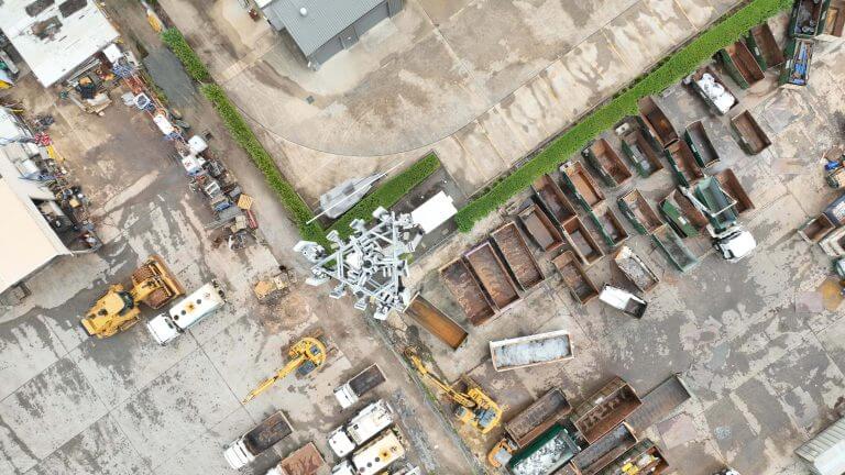
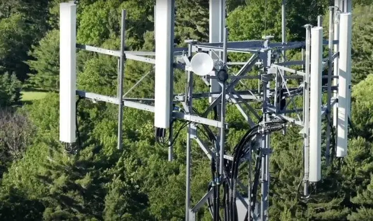
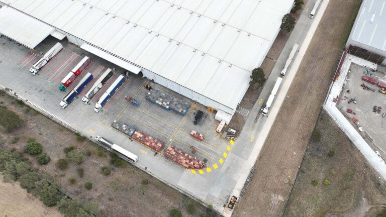
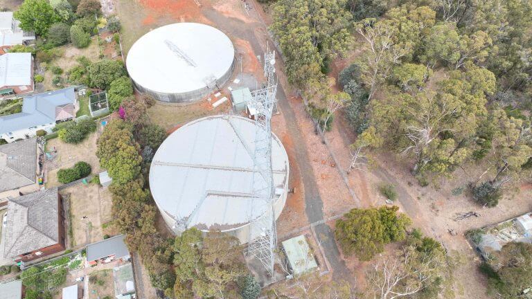
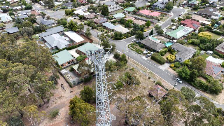
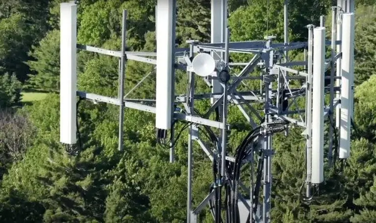
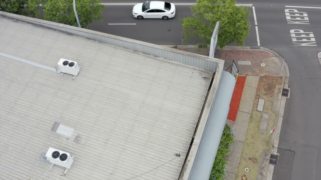
UAVs can capture useful data on almost any asset. Drones can inspect assets (internal/external), including buildings, bridges, rail infrastructure, telecommunications towers, water reservoirs, and rooftops.
With advancements in technology, many drones now feature autonomous flight capabilities, making them easier to operate for asset inspections.
Why You Should be Using Upload Enterprise Drones
Upload Enterprise is a leading provider of commercial aerial mapping, drone surveys and aerial photography. We are CASA certified and fully insured, and we offer a wide range of services, including Lidar mapping, thermal mapping, multi spectral mapping, and astrophotography.