Photogrammetry and 3D Model

Aerial Media || 3D & Photogrammetry || Aerial Mapping & Surveys || Thermal Imaging || Assets Inspection

Photogrammetry and 3D Model Photography Services

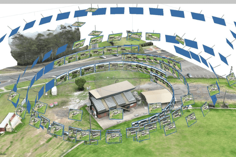
Drones are easy to use and are a much more affordable option for conducting aerial photogrammetry than using airplanes or helicopters. Drones are also equipped with geotagging technology that automatically embeds geographical data in the pictures’ metadata as it’s being captured.

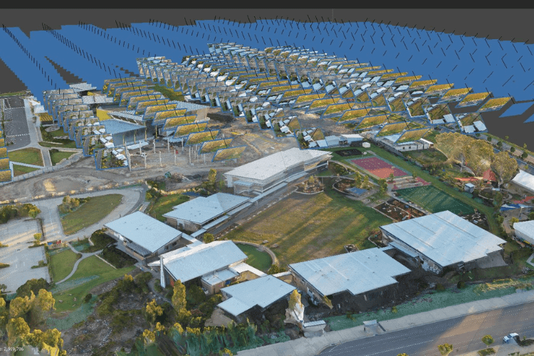
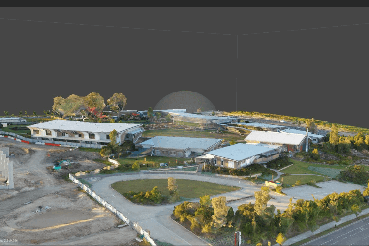
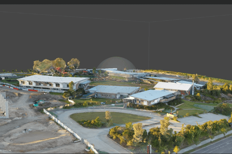
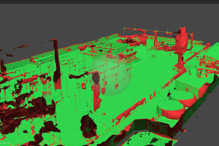
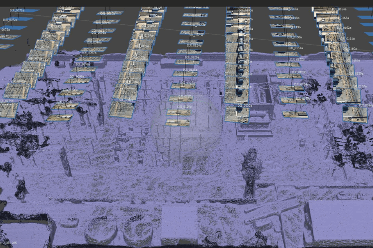
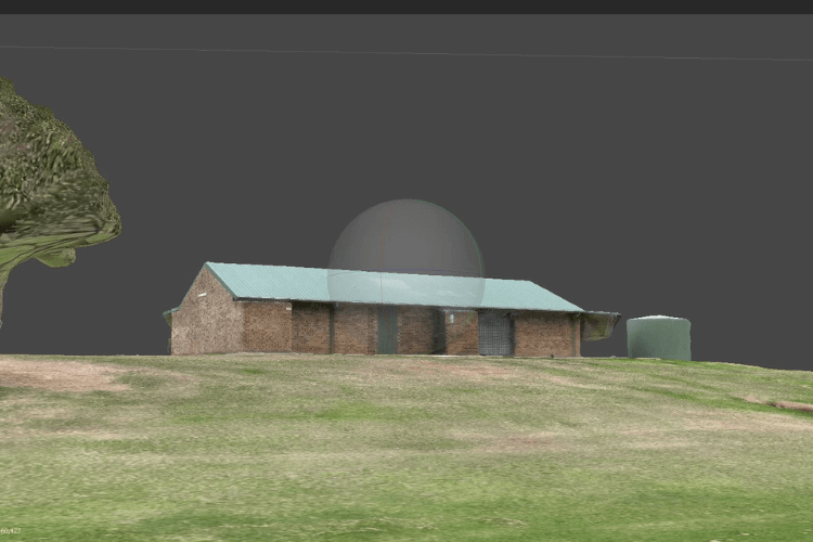
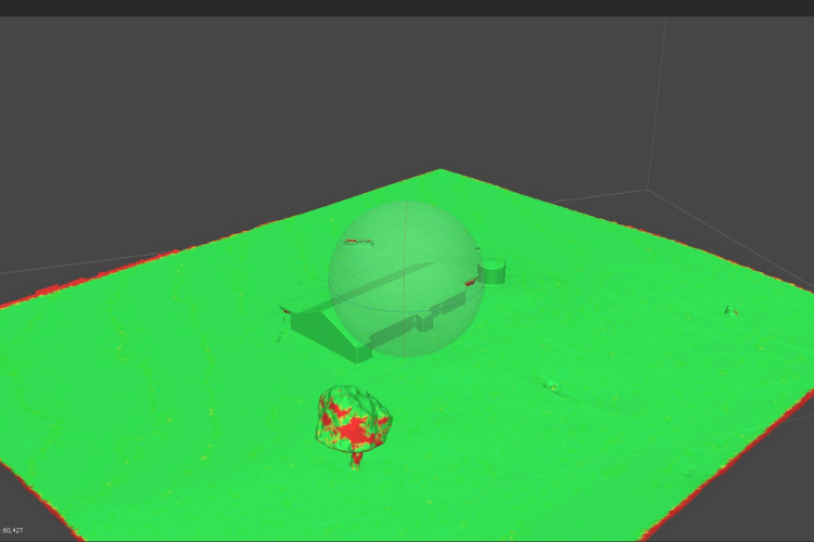
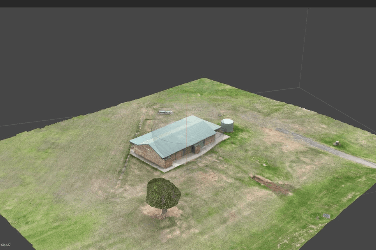
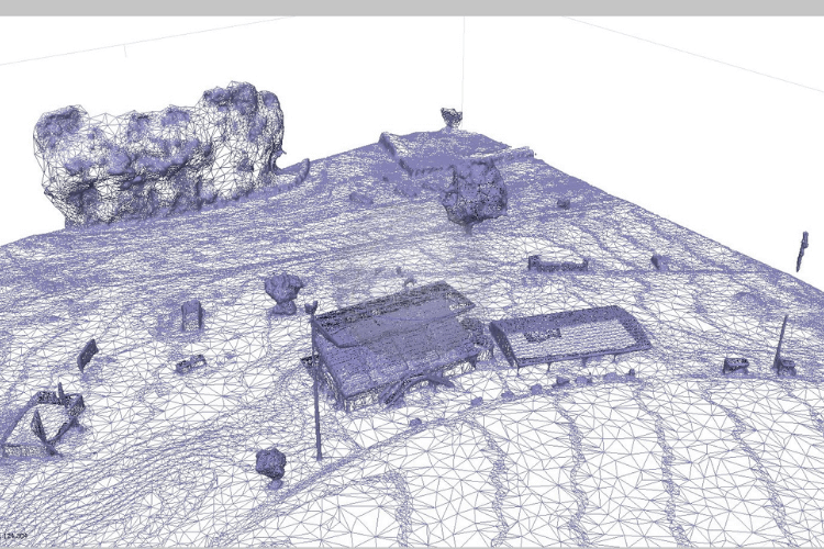
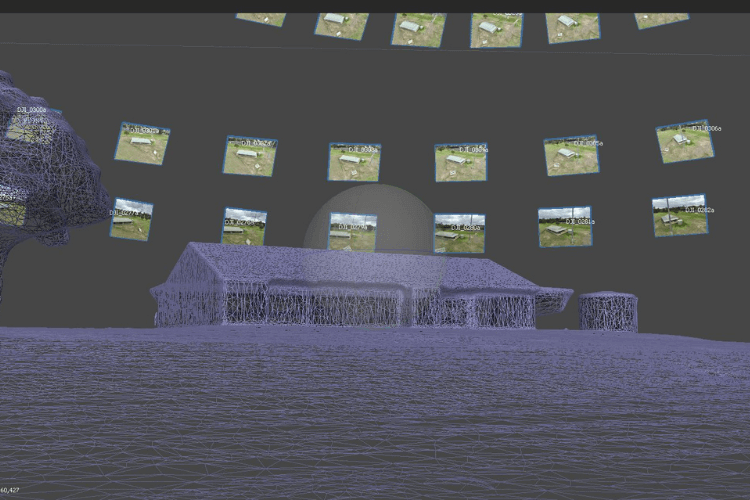
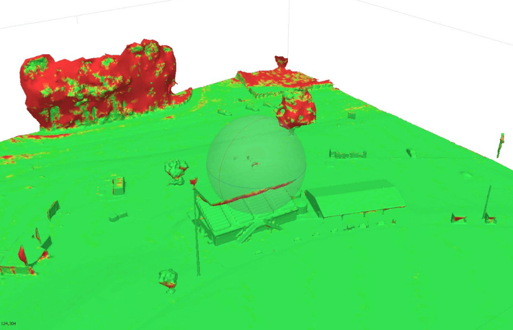
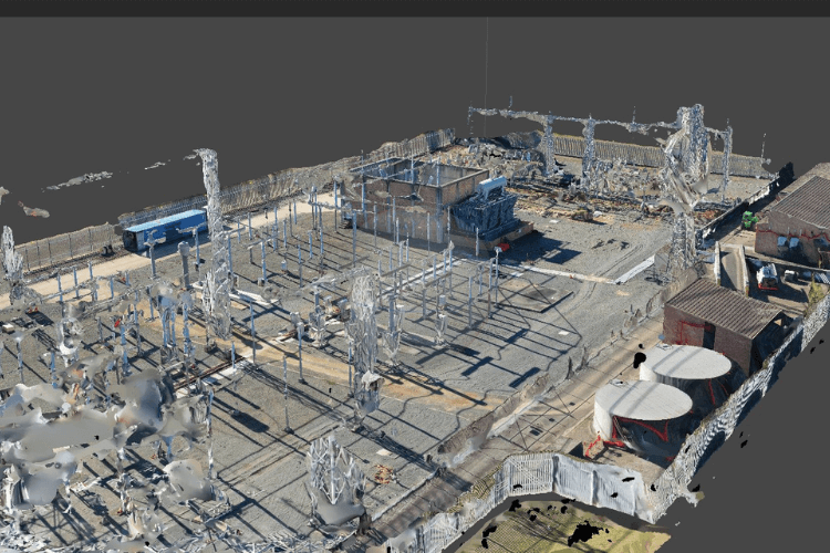
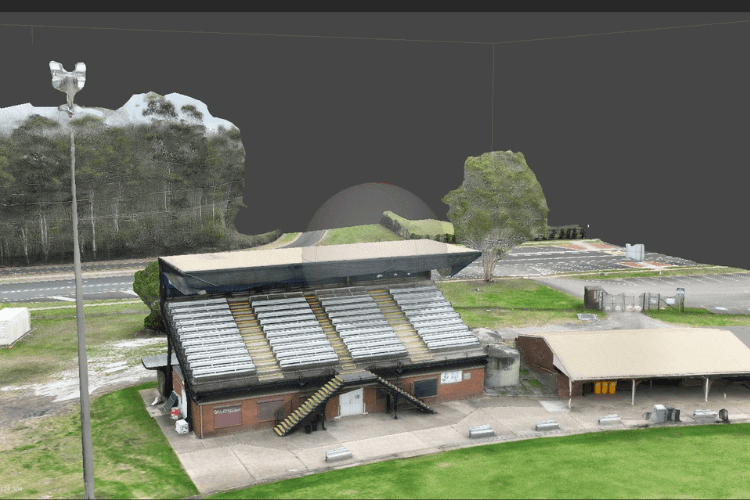
Drone data which includes altitudinal, longitudinal, and latitudinal measurements is essential to create an accurate 3D model of a subject. With several 3D modelling software platforms on the market, these images are easily converted into a drone 3D model. The accuracy of the 3D models makes it possible to calculate the area, volume, and distance in and around the model.

What is Photogrammetry?

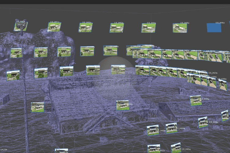
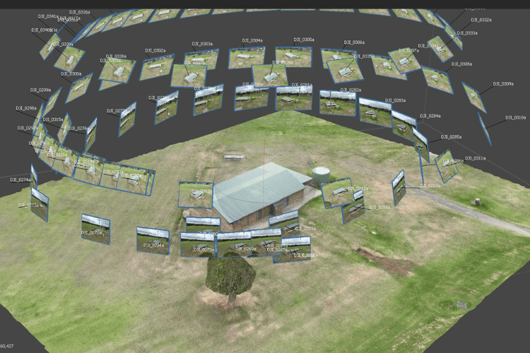
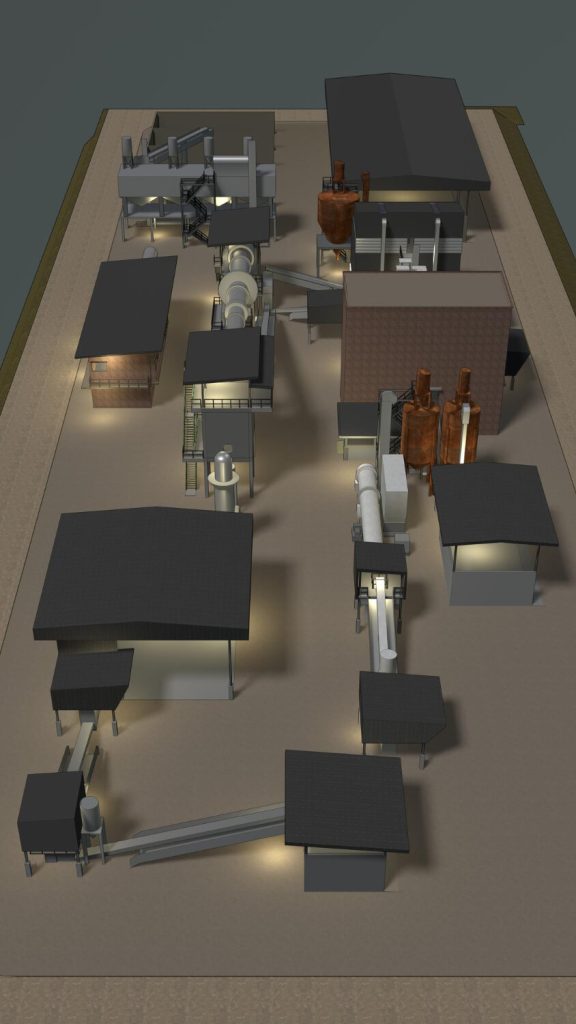
Photogrammetry is the science of extracting real-world measurements and creating 3D models from overlapping photographs. Using our advanced drone platforms and photogrammetry software, we capture high-resolution images from various angles, transforming them into precise, digital replicas.

What is a Drone 3D Model?

Drones are easy to use and are a much more affordable option for conducting aerial photogrammetry than using airplanes or helicopters. Drones are also equipped with geotagging technology that automatically embeds geographical data in the pictures’ metadata as it’s being captured.

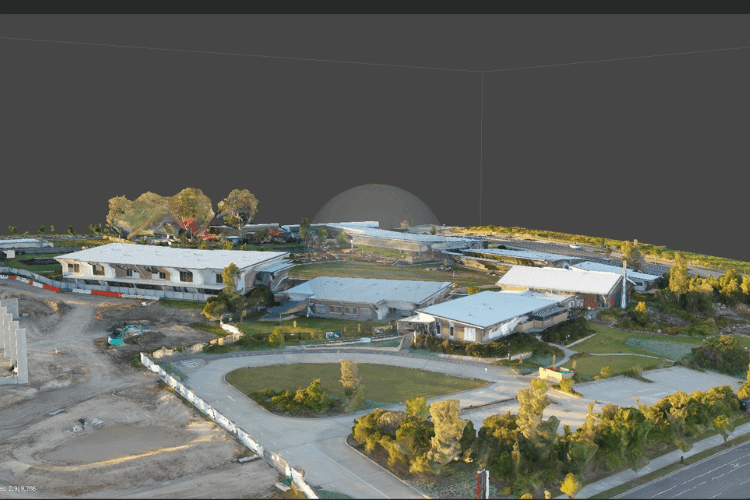
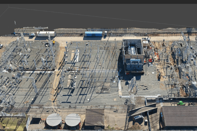
Drone data which includes altitudinal, longitudinal, and latitudinal measurements is essential to create an accurate 3D model of a subject. With several 3D modelling software platforms on the market, these images are easily converted into a drone 3D model. The accuracy of the 3D models makes it possible to calculate the area, volume, and distance in and around the model.

Projects on Photogrammetry and 3D Model

Here are few projects we have completed 

What are the benefits of Photogrammetry and 3D Model?

Even the most novice user knows that drones can be used for photography. The availability of unmanned aerial photography has led to its use in many sectors and produced incredible images. But is it good enough for your next mapping or surveying job? Let’s take a look at some of the advantages of using drones for mapping and surveying.

Why use Photogrammetry and 3D Model?

Drones can acquire data from vantage points that are not accessible to humans, especially those areas with challenging terrains. There is no need for human operators to measure points in hazardous locations physically, rather the drone can fly over an area, capturing the same amount of data in a shorter time frame.

For the best drones for land surveying, Upload Enterprise Drones provides a comprehensive drone surveying solution, which has released drones that can carry different functions according to the different needs of users.

Application of Photogrammetry and 3D Model

Drone Photogrammetry like traditional methods, tackle diverse tasks. Boundary marking, historical preservation, and legal documentation are common uses. They also guide construction projects by pinpointing locations and shaping land for buildings, roads, and more.

Projects We Have Worked On

Our Videos

Trusted By

Frequently Asked Questions

Photogrammetry has a wide range of applications, including in fields such as architecture, construction, archaeology, geology, forestry, and entertainment. It is used for creating 3D models of buildings, landscapes, cultural heritage sites, and more.
Processing time depends on the complexity of the project and the amount of data captured. We provide an estimated turnaround time upon project consultation.

Yes, photogrammetry can be used for large-scale projects such as mapping entire landscapes or creating 3D models of large structures. In such cases, aerial photogrammetry using drones or aircraft may be employed to capture the necessary images.

Why You Should be Using Upload Enterprise Drones

Upload Enterprise is a leading provider of commercial aerial mapping, drone surveys and aerial photography. We are CASA certified and fully insured, and we offer a wide range of services, including Lidar mapping, thermal mapping, multi spectral mapping, and astrophotography.

Drop your Inquiry Here