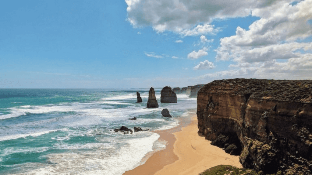
We are a growing Australian drone services company specialising in advanced aerial imagery, drone inspections, 3D modelling, and surveying and mapping. We provide high-quality data across various sectors, including mining, construction, renewables, and telecommunications.
As a licensed and registered entity with the Civil Aviation Safety Authority (CASA), We prioritise safety and compliance in all our drone operations across Australia. Our commitment to excellence ensures we consistently deliver outstanding results tailored to meet our clients’ diverse needs.
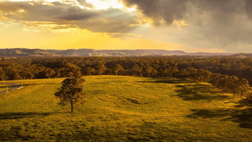
Elevate Your Business Operations with Upload Enterprise: Precision Drone Solutions for Unmatched Efficiency and Safety!
Upload Enterprise
About Us
Affordable and Professional Aerial Data Solution, CASA Licensed and Certified Drone (RPA) Operators
Upload Enterprise is a commercial drone service provider that specializes in aerial survey mapping. We offer a wide range of services, including point clouds, Tin Mesh surface models, elevation contours, topographic maps, Break line and feature extraction, water flow projections, and vegetation inspections. We are based in Sydney, NSW, but operate regularly throughout Australia.
We have the experience, the equipment and the permits to get what you need. Our competitive rates are market leading, and we can match the price of other commercial drone operators
Protected up to $20M for public liability
Safety is paramount in all aspects of our operations. We are fully licensed and insured by CASA, which ensures that we have the necessary expertise and resources to operate safely and efficiently.
Advanced camera and UAV technology
Our commitment to providing high-quality service is made possible by our investment in advanced drone systems and camera equipment.
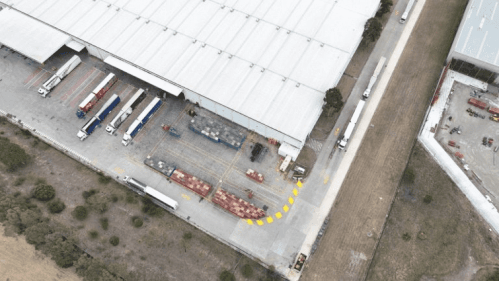
Upload Enterprise is a nationwide drone services provider of accurate, comprehensive data and high-resolution images you need to improve job site safety, minimize costs, and increase efficiency across a variety of projects.
Aerial Media Production
We are a team of experienced and professional photographers and videographers who specialize in aerial media production. We use state-of-the-art drones and cameras to capture stunning aerial footage of your property, business, or event. We then deliver high-quality, edited videos and photos that will amaze you.
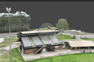
Photogrammetry and 3d Model
Get stunning offers a wide range of photogrammetries and 3D model services. We use the latest technology to create accurate and detailed 3D models of objects, scenes, and even people. Our services are perfect for a variety of applications, including architectural visualization, heritage preservation, and product design.
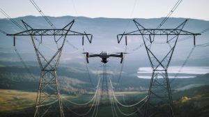
Assets Inspection
We are a team of experienced and professional photographers and videographers who specialize in aerial media production. We use state-of-the-art drones and cameras to capture stunning aerial footage of your property, business, or event. We then deliver high-quality, edited videos and photos that will amaze you
Aerial Thermal Imaging
We can help you identify areas of energy inefficiency, moisture damage, and structural defects, as well as potential fire hazards. Our services are perfect for businesses, homeowners, and government agencies who want to improve the safety and efficiency of their properties.
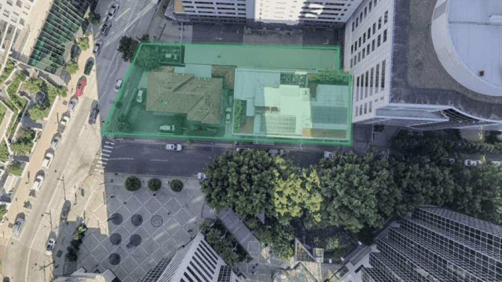
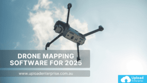
Aerial Mapping/Surveys
We offer a wide range of services, including assets inspection. Our experienced pilots and state-of-the-art drones can inspect your assets from the air, providing you with clear and detailed images and videos.
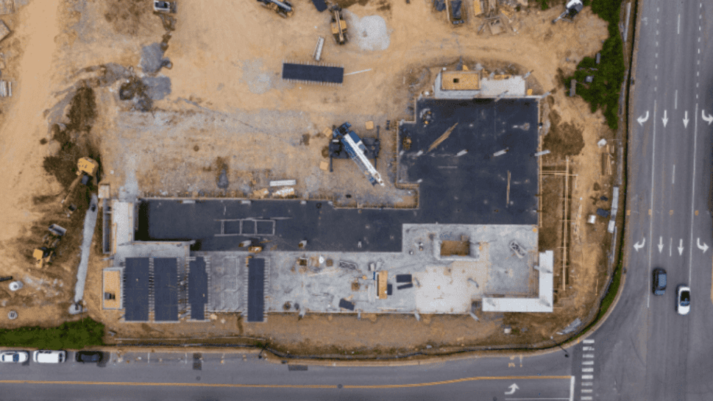
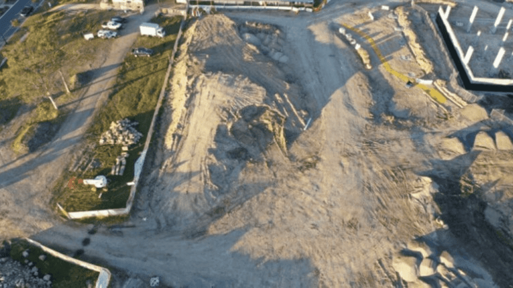
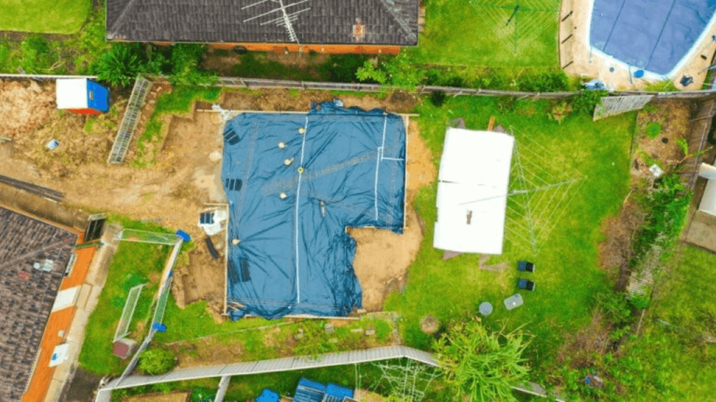
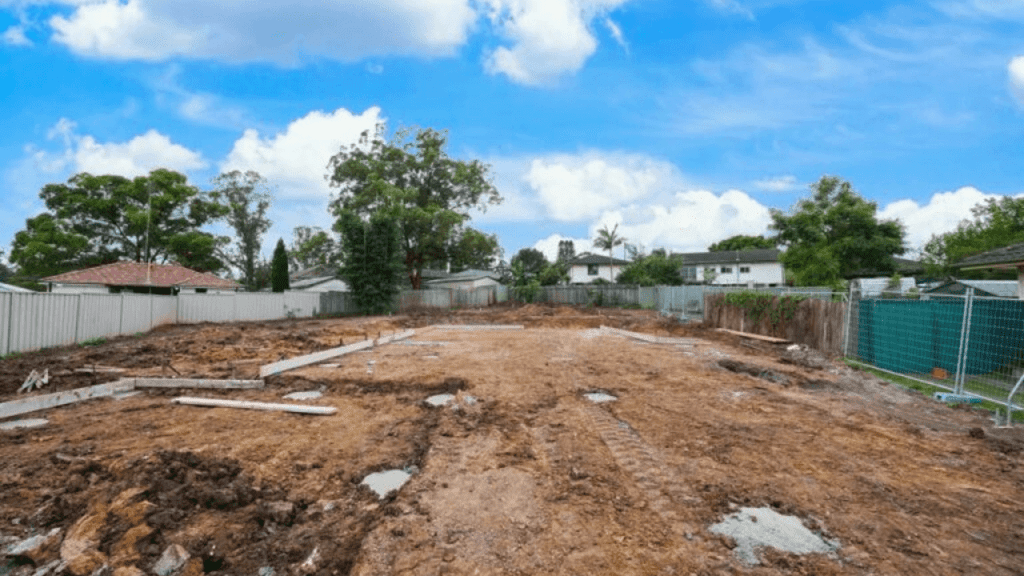
Construction Drone Photography
Aerial photography provides a constant and high-quality visual of your construction site, and many deliverables construction professionals need for any project. Drones streamline all your data to create the resources you need to meet your unique goals.
Professional and Passionate Experts at Your Service
We are passionate about bringing unique and new perspectives to everything. Our creative and highly experienced professionals can deliver a product that is engaging and stands above the rest. Our ultimate goal is to make clients happy and help them achieve their desired goals. From planning, executing, to delivering, we work along with you to produce the best results in the form of high-end photos and videos. Contact us today to discuss your photography or videography project!
8+
Years of Experience
750+
Projects Completed
534+
Satisfied Customers
Trusted By
Why You Should be Using Upload Enterprise Drones
Upload Enterprise is a leading provider of commercial aerial mapping, drone surveys and aerial photography. We are CASA certified and fully insured, and we offer a wide range of services, including Lidar mapping, thermal mapping, multi spectral mapping, and astrophotography.