PHOTOGRAPHY | VIDEO | VIRTUAL TOURS | 3D VISUALISATIONS | AERIAL IMAGES

Professional Drone Photography Expert ​

We create visual media content with expertise across a full range of services

Our Services

Stunning visuals that will impress your clients and customers
construction drone photography

Construction Drone Photography

Get stunning aerial views of your construction project with our professional drone photography services. Our experienced pilots and photographers use state-of-the-art equipment to capture high-quality images and videos that will help you track progress, identify risks, and communicate with stakeholders.

Areal Media Production

We are a team of experienced and professional photographers and videographers who specialize in aerial media production. We use state-of-the-art drones and cameras to capture stunning aerial footage of your property, business, or event. We then deliver high-quality, edited videos and photos that will amaze you.
Areal Media Production
photogrammetry 3d models

Photogrammetry and 3d Model

Get stunning offers a wide range of photogrammetry and 3D model services. We use the latest technology to create accurate and detailed 3D models of objects, scenes, and even people. Our services are perfect for a variety of applications, including architectural visualization, heritage preservation, and product design. Contact us today to learn more about how we can help you with your photogrammetry and 3D model needs.

Areal Mapping/Surveys

We are a team of experienced and professional photographers and videographers who specialize in aerial media production. We use state-of-the-art drones and cameras to capture stunning aerial footage of your property, business, or event. We then deliver high-quality, edited videos and photos that will amaze you.
Areal Mapping and Surveys
Areal Thermal Imaging

Areal Thermal Imaging

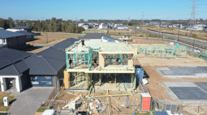
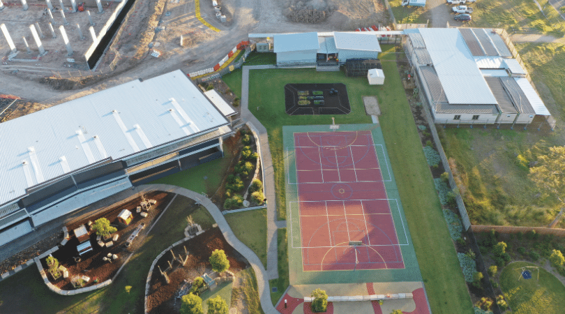
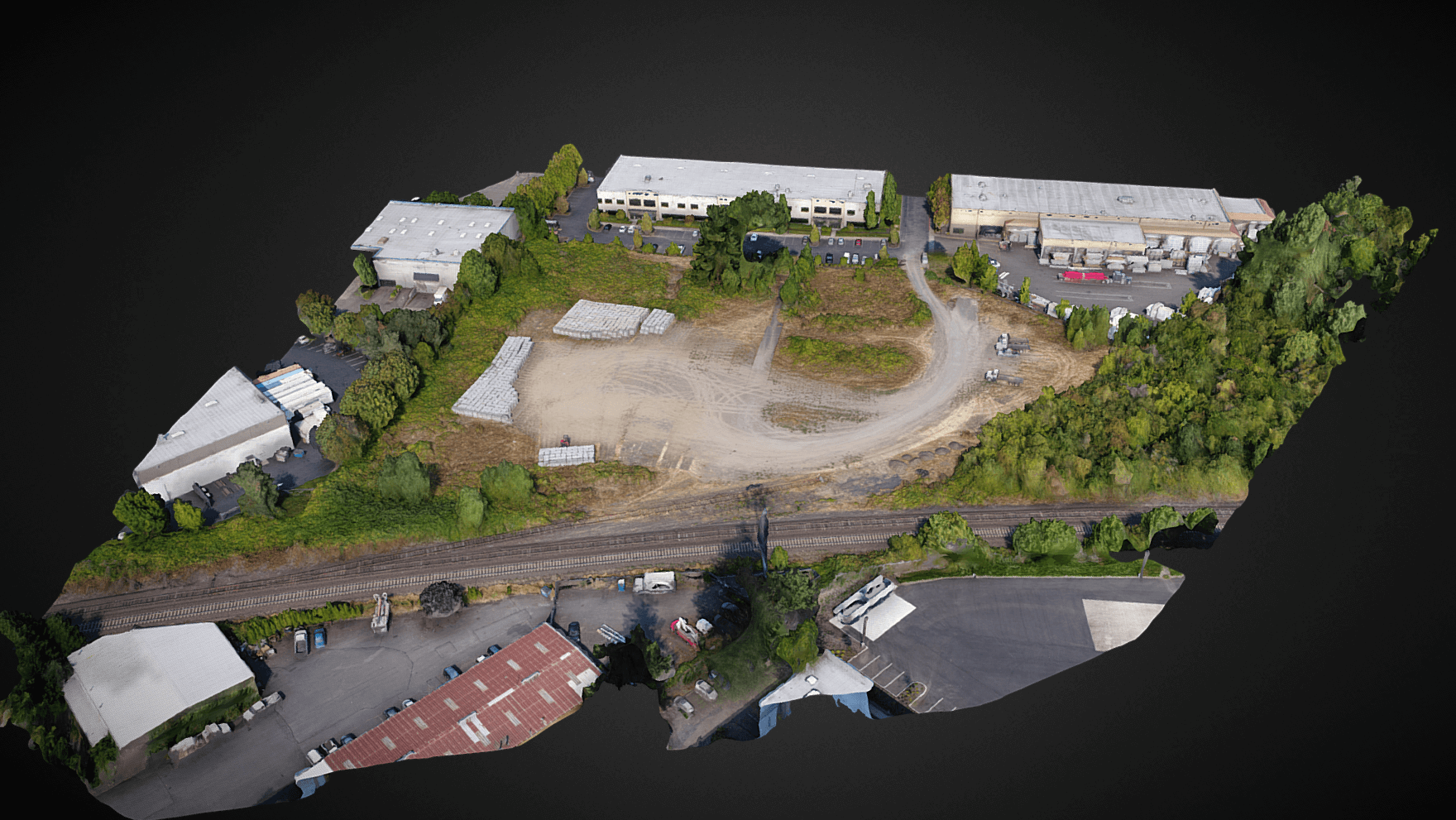
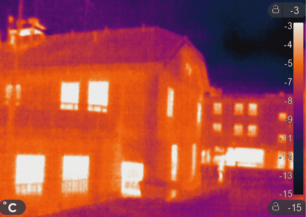
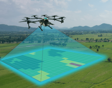
We offers a comprehensive range of areal thermal imaging services. Our team of experienced and qualified technicians use the latest infrared technology to capture images of your property or assets, revealing hidden heat signatures that can indicate potential problems. We can help you identify areas of energy inefficiency, moisture damage, and structural defects, as well as potential fire hazards. Our services are perfect for businesses, homeowners, and government agencies who want to improve the safety and efficiency of their properties.

Assets Inspection

We offer a wide range of services, including assets inspection. Our experienced pilots and state-of-the-art drones can inspect your assets from the air, providing you with clear and detailed images and videos. This can be used to identify any potential problems or damage, and to ensure the safety and security of your assets.
Assets Inspection

Our Gallary

We are passionate about creating engaging, memorable, and professional videography and photography that is tailored to your audience and reflects your vision.

Our Videos

Our Clients

Our Clients

Why You Should be Using Upload

Upload Media Services is a leading provider of commercial aerial mapping, drone surveys and aerial photography. We are CASA certified and fully insured, and we offer a wide range of services, including Lidar mapping, thermal mapping, multispectral mapping, and orthophotography.

  • Certified and licensed by CASA
  • Public Liability Insurance of $12 Million
  • Professional Liability Insurance of $6 Million
  • Safety assessments for jobs
  • Mine/Construction Spec Vehicles and Full PPE
  • Drone fleet of the future
  • GNSS ground control with PPK precision

Drop your Inquiry Here​