PHOTOGRAPHY | VIDEO | VIRTUAL TOURS | 3D VISUALISATIONS | AERIAL IMAGES

New Development And Subdivision

We create visual media content with expertise across a full range of services

New Development And Subdivision

At Upload Enterprise we redefine the way you envision, plan, and implement your new development and subdivision projects. Our experienced and dedicated drone pilots and experts provide you with high resolution aerial imagery and mapping to identify the best location for your development, play your development layout and track progress and identify any potential problems. From Aerial Photography and Videography, Construction Progress Photography to Staging and Styling Consultation we’ve covered everything to take your new development projects to new heights.

What is New Development And Subdivision?

New development and subdivision refer to the process of dividing a large piece of land into smaller fragments for the purpose of constructing multiple homes, commercial or residential properties, or sectioning city boundaries.

The process of subdivision development involves obtaining a site plan, creating a layout, and obtaining final approvals from the city or township where the subdivision is being built. The legal process of dividing a large piece of land into smaller fragments is called “subdivision platting”

Content Uploads

What are the benefits of New Development And Subdivision Videography?

New development and subdivision videography unlocks a world of benefits for both developers and potential buyers/renters. Developers can leverage video for immersive marketing, virtual tours, and emotional storytelling, leading to faster sales and stronger brand awareness. Buyers/renters, on the other hand, gain the power of remote exploration, informed decision-making, and a clear vision of the lifestyle offered, fostering trust and propelling them towards their dream home. From showcasing stunning aerial views to highlighting intricate finishes, video bridges the gap between imagination and reality, making the entire buying/renting journey smoother and more impactful for everyone involved.

Enhanced Visibility

Highlighting new development and subdivision projects through video increases their exposure and reach, particularly among prospective buyers searching online.

Stronger Connections

Personalized videos can foster deeper connections between developers and buyers, enhancing the developer's reputation and credibility.

Cost Savings

Compared to hosting open houses, video marketing offers a more cost-effective approach to promoting new developments.

Why use Drone for New Development And Subdivision Videography?

Utilizing drones for new development and subdivision videography presents a multitude of advantages, offering innovative perspectives and captivating visual experiences that significantly enhance marketing efforts.

Time and Resource Saving

Using drones eliminates the need for expensive helicopter rentals and reduces the risk associated with manned aircraft operations. Moreover, drones can cover vast areas quickly, minimizing production costs and maximizing efficiency during aerial shoots for New development and Subdivision area.

Aerial Perspective

Drone photography enables viewers to experience a bird's eye view of the entire development, providing a comprehensive understanding of the scale and scope of the project. It helps potential buyers appreciate the overall design and layout of the subdivision, allowing them to envision themselves living there.

Safety and Accessibility

Drones can access hard-to-reach locations without endangering human lives or damaging property. For example, drones can fly over bodies of water, steep slopes, or dense forests to capture stunning images and videos that would otherwise be impossible to obtain using conventional methods.

Application of New Development And Subdivision Drone Videography

Drone videography is the art of capturing video footage from the sky using a drone equipped with high-definition cameras that can capture both still images and video footage. The flexible and unique capabilities of drone videography have made it increasingly popular across a wide range of sectors, including real estate development and subdivision.

Drones can capture stunning aerial footage of the entire development, providing a comprehensive view of the layout, amenities, and surrounding area. They offer an excellent way to present an overview of a property’s features, showcase the surrounding neighborhood, and highlight specific features of a property, such as a pool, tennis court, or rooftop terrace, allowing potential buyers to visualize themselves enjoying these amenities. 

  • Aerial Footage
  • Virtual Tours
  • Property Visual
  • Content
    Highlighting
  • Neighborhoods
  • Construction and Development Progress
  • Elevated Property Listings
  • Unique Perspectives for Property Marketing

Projects We Have Worked On

Image Gallery

Our Videos

Trusted By

Our Clients

Frequently Asked Questions

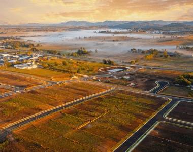
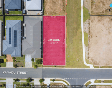
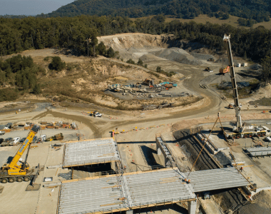
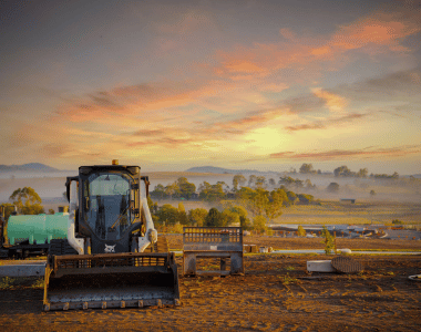
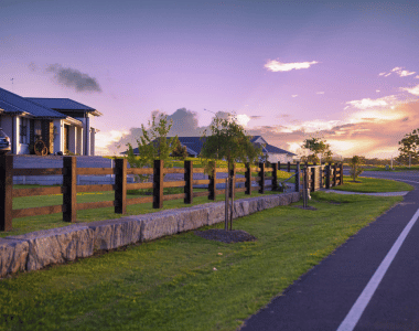
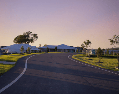
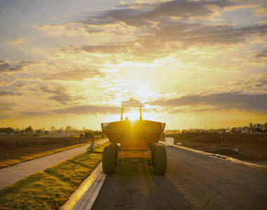
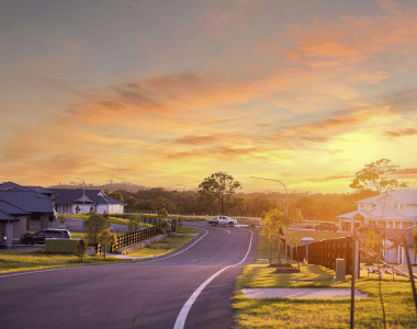
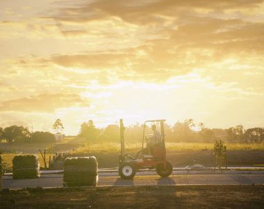
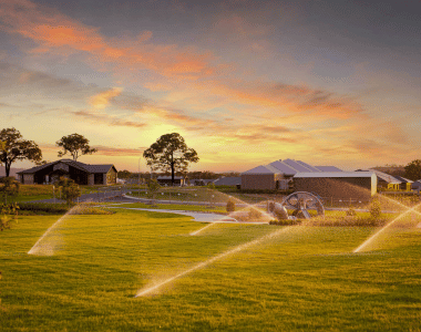
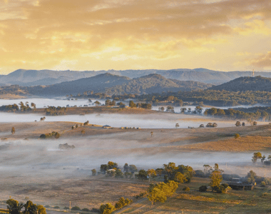
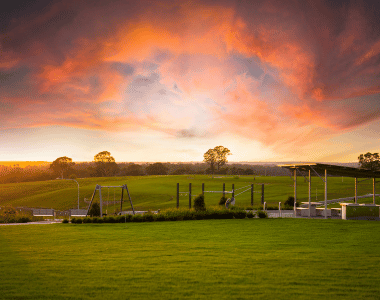
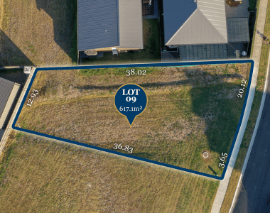
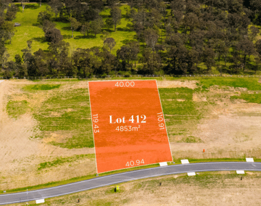
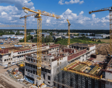
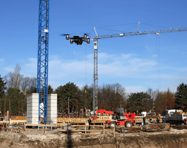
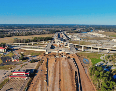
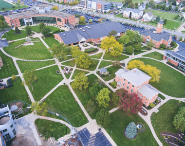
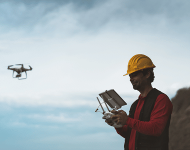
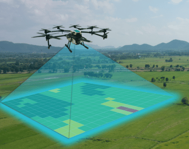
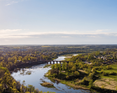
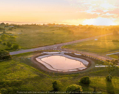
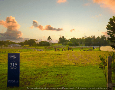
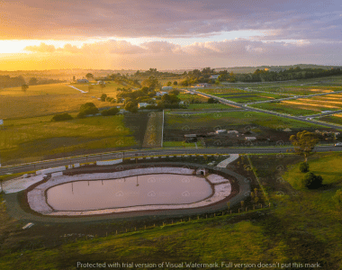
Drone videography can be used to document construction progress, create compelling visual updates for stakeholders, and elevate property listings with captivating aerial views. It can also be used to showcase the surrounding neighborhood, highlight specific features of a property, and provide virtual tours of properties.

Common mistakes to avoid include lack of planning, poor lighting, and skipping post-production. It’s important to plan the shoot in advance, scout the location, and identify key elements to capture. Proper lighting is also crucial to avoid murky and unappealing footage. 

At Upload Media Services, we offer a wide range of services so you can rely on us for aerial photography and videography, site inspection, progress monitoring etc. We will help you complete your projects with accuracy, speed, safety and at an affordable rate. Therefore we are your go to choice for professional drone services in Australia. Contact us today to learn more about how we can help you in your new development and subdivision project. 

Why You Should be Using Upload Enterprise

Upload Enterprise is a leading provider of commercial aerial mapping, drone surveys and aerial photography. We are CASA certified and fully insured, and we offer a wide range of services, including Lidar mapping, thermal mapping, multispectral mapping, and orthophotography.

  • Certified and licensed by CASA
  • Public Liability Insurance of $12 Million
  • Professional Liability Insurance of $6 Million
  • Safety assessments for jobs
  • Mine/Construction Spec Vehicles and Full PPE
  • Drone fleet of the future
  • GNSS ground control with PPK precision

Drop your Inquiry Here​