Aerial Media || 3D & Photogrammetry || Aerial Mapping & Surveys || Thermal Imaging || Assets Inspection
Latest Blog & Announcement
Affordable and Professional Aerial Data Solution, CASA Licensed and Certified Drone (RPA) Operators
Latest Blog & Announcement

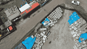
Projects We Have Worked On




Trusted By

Frequently Asked Questions
Depends on your budget and needs! Popular choices include:
Entry-level: DJI Phantom 4 RTK, Autel EVO II Pro RTK V3 (affordable, accurate)
Mid-range: DJI Mavic 3 Enterprise (compact, high-res), Yuneec H520 RTK (rugged, thermal option)
High-end: DJI Matrice 350 RTK (heavy-duty), WingtraOne GEN II (fixed-wing, long flight), AgEagle eBee X (autonomous, large areas)
Accuracy depends on several factors, including drone model, sensors, flight planning, and post-processing techniques. Most professional drones with Real-Time Kinematic (RTK) technology can achieve centimeter-level accuracy. However, basic GPS-based drones may only reach meter-level accuracy.
Our standard deliverables include:
- High-resolution imagery
- Surface/terrain models with contours.
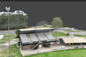
- Other deliverables include 3D reality modelling for digitising as-built assets.
Why You Should be Using Upload
Upload Media Services is a leading provider of commercial aerial mapping, drone surveys and aerial photography. We are CASA certified and fully insured, and we offer a wide range of services, including Lidar mapping, thermal mapping, multispectral mapping, and orthophotography.
- Certified and licensed by CASA
- Public Liability Insurance of $12 Million
- Professional Liability Insurance of $6 Million
- Safety assessments for jobs
- Mine/Construction Spec Vehicles and Full PPE
- Drone fleet of the future
- GNSS ground control with PPK precision