Aerial Media || 3D & Photogrammetry || Aerial Mapping & Surveys || Thermal Imaging || Assets Inspection
Drone Videography for Building & Construction
Affordable and Professional Aerial Data Solution, CASA Licensed and Certified Drone (RPA) Operators
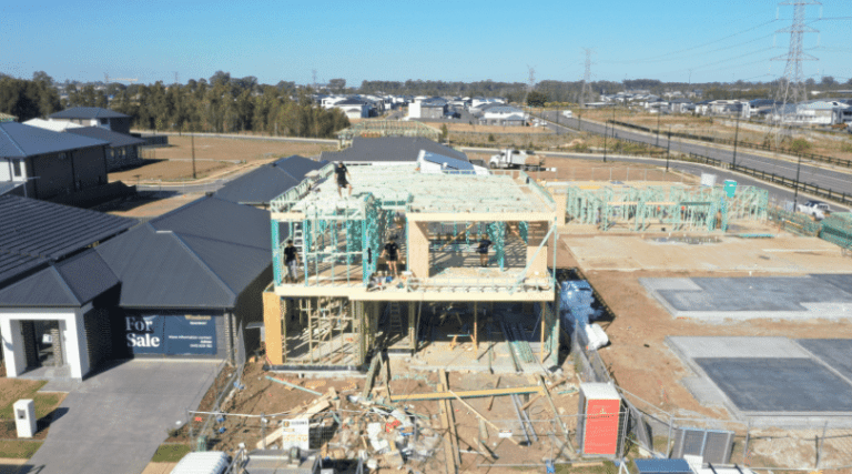
Aerial Videography for Building & Construction
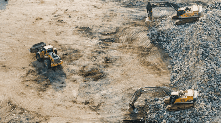
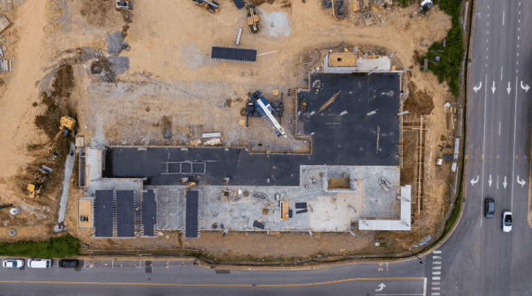
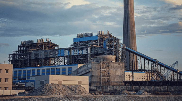
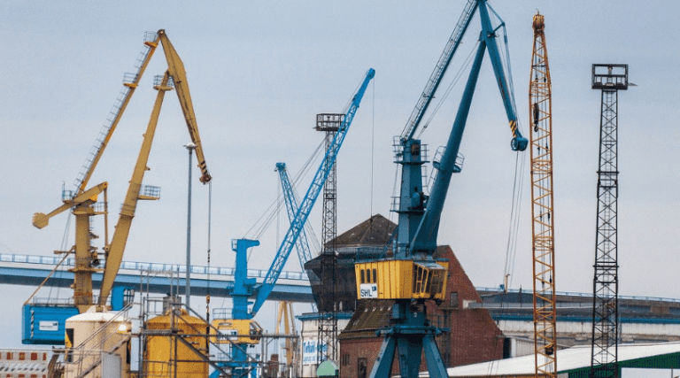
Aerial videography is a powerful tool for showcasing building and construction projects. With stunning aerial footage, you can capture the scale and scope of your work in a way that traditional photography simply can’t match. At Upload Enterprise we specialize in providing high-quality aerial videography services for building and construction projects of all sizes.
Our team of expert drone operators has years of experience capturing stunning footage of construction sites, infrastructure projects, and real estate developments. We use the latest drone technology and editing software to create videos that are both visually stunning and informative.
Magazine Quality at Affordable Budgets
We are a team of experienced drone operators with the necessary equipment and permits to complete your project. Our rates are competitive and market-leading, and we can match the prices of other commercial drone operators.
Protected up to $20M for public liability
Safety is paramount in all aspects of our operations. We are fully licensed and insured by CASA, which ensures that we have the necessary expertise and resources to operate safely and efficiently.
Advanced camera and UAV technology
Our commitment to providing high-quality service is made possible by our investment in advanced drone systems and camera equipment.
What is a Construction Photography?
Construction photography is the use of photography to document and showcase construction projects, processes, and equipment. It involves capturing visual stories of construction sites, equipment, and workers to provide a comprehensive visual record of the project’s progress.
Construction photography offers numerous benefits, including improved communication, safety, marketing efforts, and legal proceedings. It can also reduce costs, increase accuracy, and provide virtual tours of completed projects. Aerial photography is a popular form of construction photography that provides unique perspectives and can showcase the progress of a project over time. Overall, construction photography is a versatile tool that enhances communication, improves safety, and supports marketing efforts in the construction industry.


What is a Construction Videography?
Construction videography is the use of video technology to document and showcase construction projects, processes, and equipment. It involves capturing visual stories of construction sites, equipment, and workers to provide a comprehensive visual record of the project’s progress. Construction videography offers numerous benefits, including improved communication, safety, marketing efforts, and legal proceedings.
It can also reduce costs, increase accuracy, and provide virtual tours of completed projects. Aerial videography, in particular, is a powerful tool that enhances progress monitoring, feature presentation, and safety measures. Overall, construction videography is a versatile tool that enhances communication, improves safety, and supports marketing efforts in the construction industry.
What are the benefits of Aerial Videography for Building & Construction?
Aerial videography brings transformative advantages to building and construction projects, elevating progress monitoring, feature presentation, and safety measures. Through breathtaking perspectives, it showcases the evolving landscape, accentuates distinctive architectural elements, and facilitates remote inspections—ultimately reducing expenses, increasing precision, and amplifying marketing impact.
Save time and money
The economic advantage of drone land surveying comes primarily from its low operating costs compared to its main competitors, airplanes, and helicopters, which are up to 10 times more expensive than drone topography. Besides, recent studies show drone surveying is up to five times faster than traditional land-based methods.
Provide high data accuracy
Drones have extremely high accuracy, with aerial mapping reaching centimeter-level accuracy and mapping accuracy generally reaching 1:1000. In addition, aerial mapping also has a wealth of 3D geographic information, which can capture the data of large-scale terrain.
Map inaccessible places safer
Drone topographic survey allows us to obtain extensive and reliable data from inaccessible locations, unsafe steep slopes, or hazardous terrain. This means that surveyors can create a 3D computer model of the object under study and take a series of measurements in the office, without necessarily needing to be in the field or in a hazardous area to obtain data.
Why use Construction Photography and Videography?
While verbal descriptions can convey some information about construction, visuals like photos and videos are better for explaining certain aspects. Once a construction company has a library of high-quality visual content, this can be utilized across marketing channels – both traditional and digital. Unique benefits of construction photography and videography include capturing more than just the physical site, such as photos of the team or videos explaining the day’s progress. This creates a more engaging, in-the-moment experience for customers viewing the content online or on social media.
Though phone photos provide convenience, professional-grade production adds credibility and authenticity. In summary, construction visual media allows companies to vividly showcase not just the physical details but also the human aspects of projects across diverse marketing platforms.
Provide Accurate And Reliable Data
Drones capture vast survey data on big projects fast, ideal for measuring and reporting. One flight generates thousands of 3D measurements, easily shown as maps, models, and more.
Ability To Map Inaccessible Areas
Aerial mapping drones are limitless. They can fly almost anywhere – unreachable areas, unsafe steep slopes, or harsh terrain unsuitable for traditional measuring methods.
Safely Track The Progress Of Your Project
Drones give you the ability to monitor the progress of your project from a distance. This is a big step towards a more efficient and safer monitoring process.
Application of Building and Construction Videography
Building and construction videography has a wide range of applications in the industry. By utilizing building and construction videography, companies can improve communication, safety, marketing efforts, and legal proceedings. It is a powerful tool that can help businesses stand out in a competitive industry
- Project documentation
- Marketing and promotion
- Training and safety
- Inspections and surveys
- Virtual tours
- Equipment demonstrations
- Company overviews
- Project highlights
- Employee profiles
- Motion graphics and animations
- Podcasts
- Live streaming
Projects We Have Worked On




Image Gallery
Our Videos
Trusted By

Frequently Asked Questions
Usually within 2-3 days unless we are travelling from your project directly to another clients. We will send the high resolution images to you via WeTransfer.
Yes we do, we have several clients where we are on site for them every month- let us know what your requirements are and we can discuss it to come to a suitable arrangement.
Absolutely, we can accommodate requests to photograph multiple construction sites, machinery in action, various stages of projects, headshots and portraits of staff, and images of office operations.
We can photograph multiple construction sites, equipment in action, various project stages, staff portraits, and office operations. The timeframe depends on your organization’s size. The main challenge is coordinating staff schedules and site access across locations. However, our team is flexible and can adapt to capture all needed photos while minimizing disruptions. With planning, we can successfully photograph all aspects of your projects and staff.
Why You Should be Using Upload Enterprise
Upload Enterprise is a leading provider of commercial aerial mapping, drone surveys and aerial photography. We are CASA certified and fully insured, and we offer a wide range of services, including Lidar mapping, thermal mapping, multispectral mapping, and orthophotography.
- Certified and licensed by CASA
- Public Liability Insurance of $12 Million
- Professional Liability Insurance of $6 Million
- Safety assessments for jobs
- Mine/Construction Spec Vehicles and Full PPE
- Drone fleet of the future
- GNSS ground control with PPK precision
