Aerial Mapping

What is the difference between RTK, PPK or GCP’s for Aerial Surveys

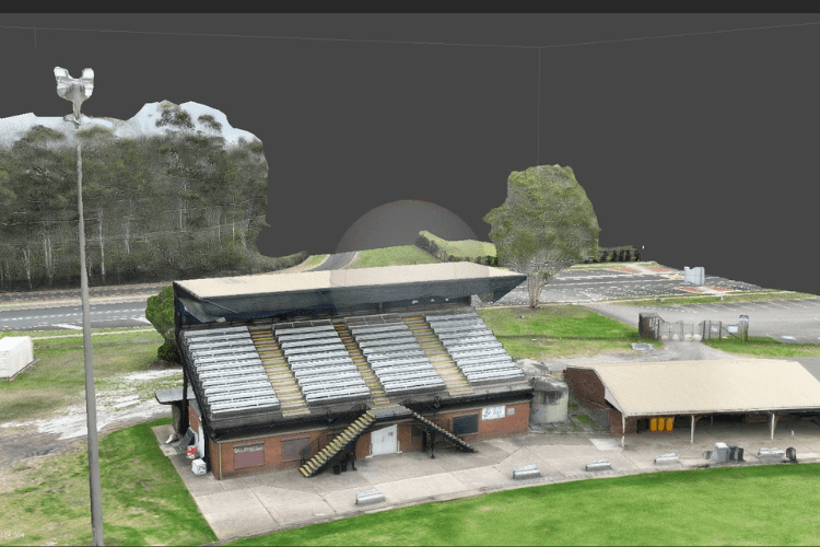
Today high accuracy of aerial survey has become commonplace. It is easy to get lost in the different acronyms and their concepts. When you have thought of using GCP on your sites using RTK drone surveys that capture both RTK and PPK data. There is no matter where you have to start. You have to […]

What is the difference between RTK, PPK or GCP’s for Aerial Surveys Read More »

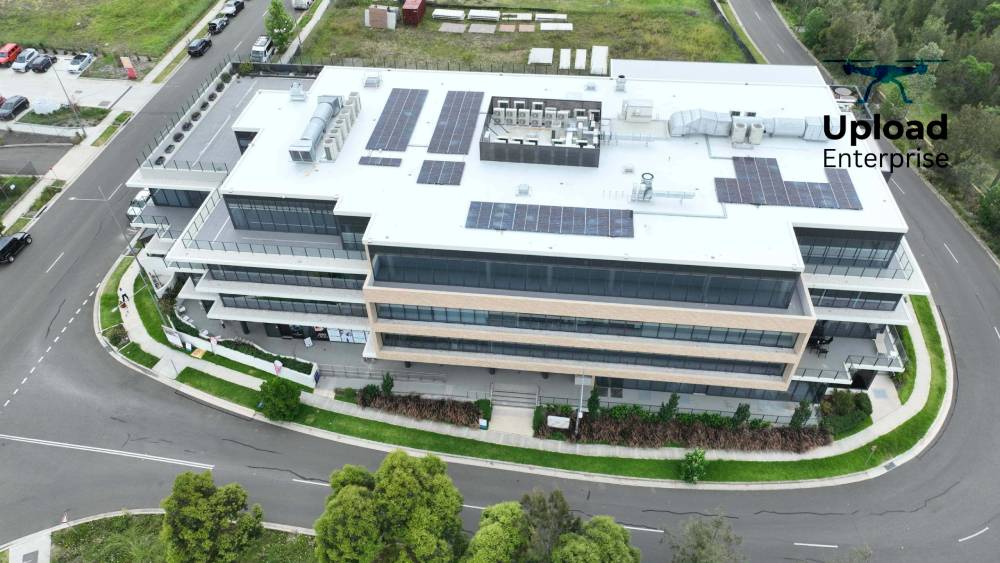
Aerial mapping drone photo

Aerial Photography Used For Boosting Property Marketing In Sydney

In the real estate market of Sydney, standing out is important. According to the latest in technology, there the methods of showing properties. There is one innovation that makes transformed property marketing is aerial photography. This blog explores how aerial photography, specifically drone photography, and videography can transform the way properties are presented and sold

Aerial Photography Used For Boosting Property Marketing In Sydney Read More »

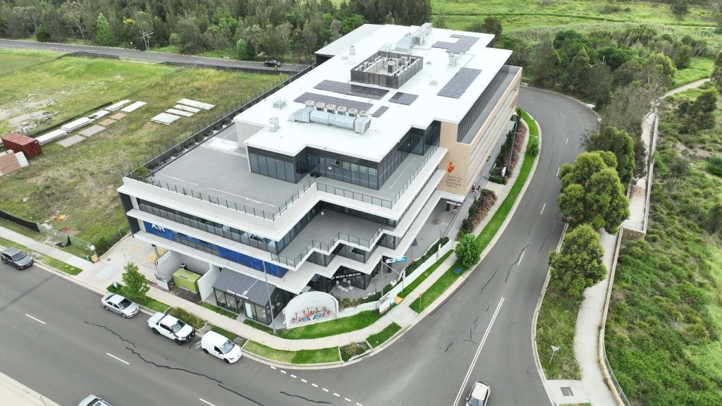
Hospital Inspection

Uses and Applications of Drones in Various Industries

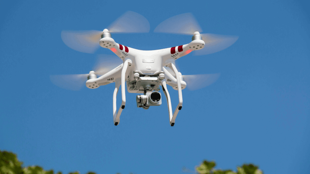
You must have noticed drones in operation in your daily life. These machines have various applications and uses in normal day life. Such as it can be used at weddings to capture pictures, and it can also be used in controlling traffic in an ideal manner. However, commercial drones from us at Upload Enterprise have

Uses and Applications of Drones in Various Industries Read More »