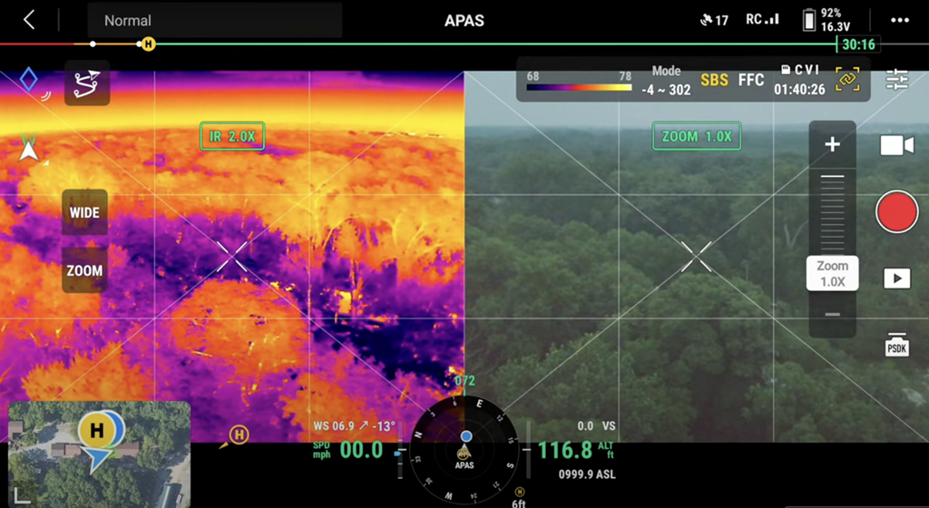
Aerial Thermal Imaging

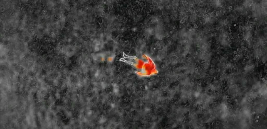
Forest Thermal Image Before And After

Capturing Thermal Imaging Camera on the Drone

Capturing thermal images mounted on drones that can transform the inspection process across Sydney, can offer a unique blend of efficiency and precision. Advanced systems can use FLIR thermal imaging technology to detect temperature variation. This can be invisible to the naked eye, making them ideal for identifying and detecting the building and infrastructure. In

Capturing Thermal Imaging Camera on the Drone Read More »

solar panel inspection

Thermal Imaging Drone for Solar Panel Inspection

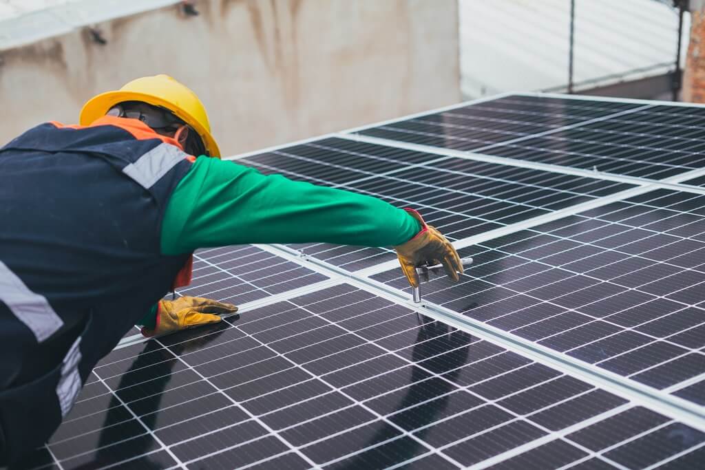
Thermal imaging drones that can quickly scan large solar farms. it can reduce the time required for thermal inspections compared to manual methods. Ready with infrared cameras the drones provide precise thermal images that can identify the hotspots and underperforming panels with high accuracy. Thermal imaging drones can help to reduce maintenance costs and prevent

Thermal Imaging Drone for Solar Panel Inspection Read More »

Thermal inspection

How Do Infrared Drone Solar Inspections Save Money?

Maximize savings with Infrared Drone Solar Inspections! Learn how this advanced technology boosts efficiency and cuts maintenance costs.  Solar farms among other sectors use solar panels to generate energy sustainably. This approach offers excellent energy production but necessitates aerial solar inspection to reduce costs of maintenance and ensure that solar panels are not faulty and

How Do Infrared Drone Solar Inspections Save Money? Read More »

How Did Drones Revolutionize the Construction Industry?

Uncover how drones revolutionize the construction industry. From precise surveys to real-time monitoring, witness the future of construction. Originally used for military purposes and hobbyist photography, drones have quickly spread to various industries and the construction sector is leading this trend. These unmanned aerial vehicles (UAVs) are useful in increasing the efficiency of operations in

How Did Drones Revolutionize the Construction Industry? Read More »

What Is Aerial Thermal Imaging And How Can It Be Utilised In Various Sectors?

Explore Aerial Thermal Imaging diverse applications in agriculture, construction, and more. Unlock efficiency and insights across industries with this cutting-edge technology. Aerial thermal imaging has emerged as a valuable instrument across many sectors as it can gather thermal data from many vantage points. In different industrial settings, thermal imaging has played a vital role as

What Is Aerial Thermal Imaging And How Can It Be Utilised In Various Sectors? Read More »

What Are The Benefits, Application, And Opportunities Of Using Drones In Building And Construction?

Discover the transformative impact of drones in the building and construction industry. Explore the numerous benefits, versatile applications, and lucrative opportunities that drone technology brings to enhance efficiency and innovation in construction projects. As far as tools of building are concerned, the construction industry is a different breed altogether. Tools are important in construction. A

What Are The Benefits, Application, And Opportunities Of Using Drones In Building And Construction? Read More »

How Can You Use Drones To Track Progress On New Developments And Subdivisions?

Discover the innovative ways to utilize drones for tracking progress on new developments and subdivisions. Learn how this technology revolutionizes the construction industry. Imagine your position as a magic watchtower from which you can see how new projects and subdivisions are coming into existence. Among such technological advancements, drone technology has become more common. The

How Can You Use Drones To Track Progress On New Developments And Subdivisions? Read More »

6 Deadly Drone Mapping Mistakes You Must Avoid

“Avoid 6 deadly drone mapping mistakes! Optimize your projects with expert tips for precision and success. Elevate your drone mapping game today!” Drones have changed the mapping industry by giving remarkable depth and precision. Many businesses or people are interested in the drone mapping business but mastering drone mapping needs a stronger knowledge and careful

6 Deadly Drone Mapping Mistakes You Must Avoid Read More »

Are Drone Advancements Shaping The Future Of The Energy Gas, Mining & Oil Industry?

“Unlock the future of Energy, Gas, Mining, and oil with drone advancements. Explore the transformative impact on operations, safety, and efficiency in these vital industries.” The energy gas, oil, and mining industry has long been at the forefront of embracing cutting-edge technology to improve safety, efficiency, and cost-effectiveness. A rising pool of technological advancements is

Are Drone Advancements Shaping The Future Of The Energy Gas, Mining & Oil Industry? Read More »