In the digital world, many agriculture farmers and professional growers can use drone data solutions like DroneDeploy to generate data-rich maps of their farms and fields.
The Drone software can enable professional growers to become more efficient in this field to get more information about crop management decisions and to better understand product performance.
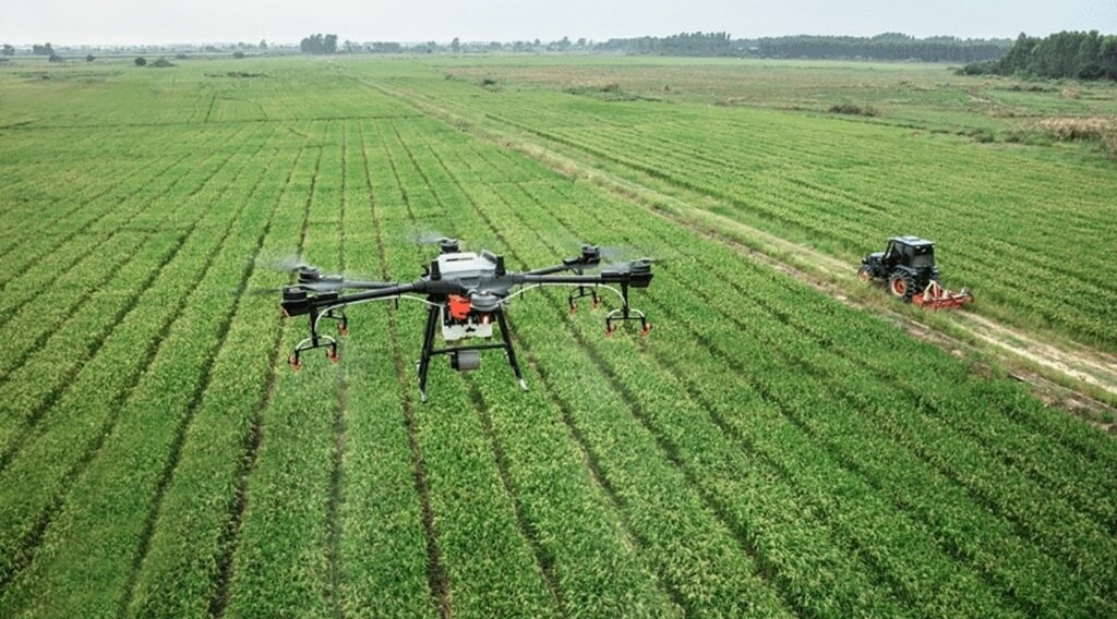
When we are using a DroneDeploy it allows you to detect crop health issues in real-time, analyze accurately the significant weather event, and it can generate variable rate prescriptions that can be serious cash with more targeted fertilizer applications.
When you already have a drone solution in place on your farm, or you are thinking to get starting a drone framing I suggest some ebooks to provide everything you need to know about the drone data solution Agriculture.
The eBook that I considered:
What is a drone data solution?
The benefits of a drone data solution for agriculture
How can you Use Drones in Agriculture
How today’s Agriculture innovators are putting drones to work
How to get started with DroneDeploy
Drone data Solutions
The drone can take huge amounts of data through photos, videos, panoramas, and even multispectral and thermal imagery. When all information is gathered it can make hundreds to thousands of files. The crucial companies use a software solution that can learn this information and make it digestible for your operational fields, R&D team, and clients.
This was the only company that interprets all drone data by helping the companies capture, analyze, and take action.
Benefits of Drone Data Solution for Agriculture
The Benefits of Drone data solutions for agriculture are given.
Improved Efficiency and Productivity
Using drones can improve farming and improve farming efficiency and productivity. It can cover 400-600 acres of farmland in one day. Traditional methods can take more than a week to improve farming. The drone can save 90% of time saving allowing farmers to focus on critical tasks.
Data-Driven Decision Making
You have to use high-resolution cameras and advanced sensors for capturing detailed data through drones. It can be analyzed when the information identifies problems like crop diseases, irrigation irregularities, or nutrient deficiencies. The farmers have choices for reducing resource wastage.
Cost-Effectiveness
The use of agriculture drones can save money by optimizing resources. We can analyze the data and reduce fertilizer and pesticide use by up to 30%, cutting operational expenses and environmental impact. It can be less reliance on manual labor results in significant labor to save money.
Enhanced Crop Management
Crop management provides health and growth patterns in real-time. It can detect Early through drone-based images and that can boost crop yields by 25%. When a timely intervention based on drone data ensures healthier higher-quality crops.
Environmental Benefits
Agriculture drones reduce chemical usage by 35% in specifically targeted areas, preserving natural resources, and reducing pollution. It can decrease the fuel consumption from fewer field visits contributing to the lower greenhouse gas emissions.
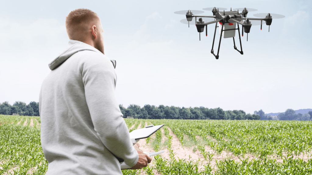
How can you Use Drones in Agriculture
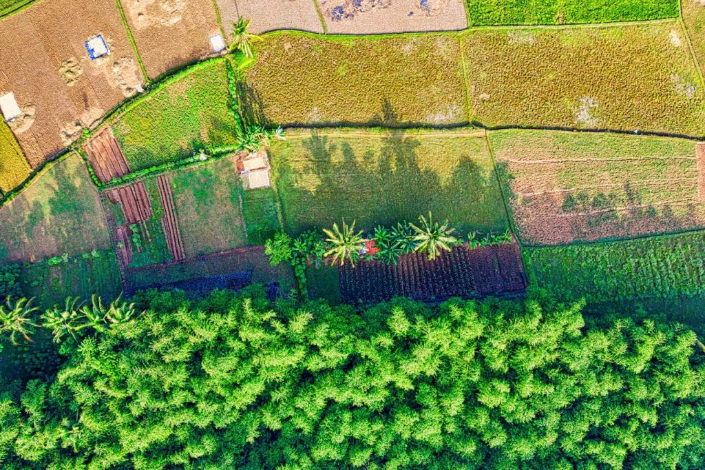
Precision Mapping and Surveying
The drone agriculture is outfitted with cutting-edge sensors and high-resolution cameras, facilitating precision agriculture mapping and survey of agriculture landscapes. This technology marvels farmers using insights into topographical variations, soil composition, and drainage patterns across these fields. The agriculture drone can provide the data to serve as the foundation for optimized planting strategies, resource allocation, and land management.
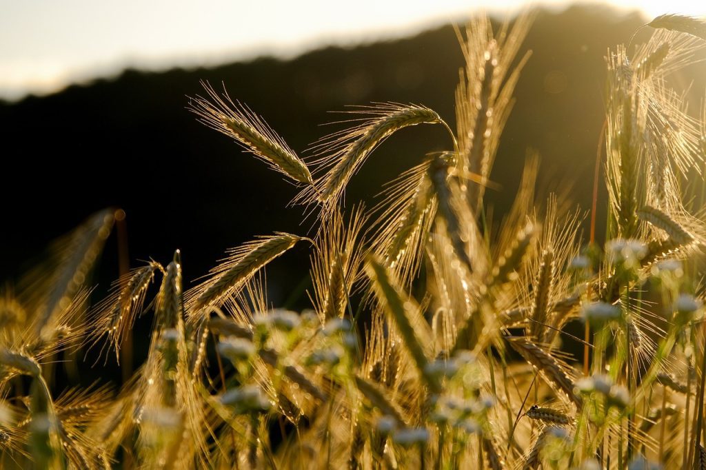
Vigilant Plant Health Monitoring
Agriculture drones can have advanced multispectral and infrared cameras and can excel in plant health assessment. It has been subtle variations indicating stress, nutrient deficiencies, or diseases, professionals can implement precise remedial moves. The proactive can translate into higher-quality crops and a sustainable agriculture ecosystem.
Comprehensive Soil Health Analysis
Soil health is the bedrock of productive agriculture. It can collect diverse soil samples across fields. The agricultural professional gains insights into soil fertility, pH levels, and moisture content. It can inform you to make decisions regarding nutrient management and soil conditioning to enhance agricultural productivity and longevity. You must know about your soil for farming it makes smart farming.
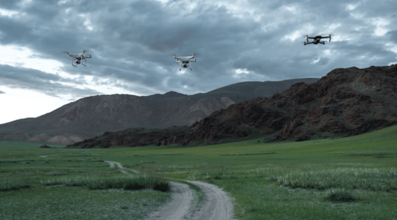
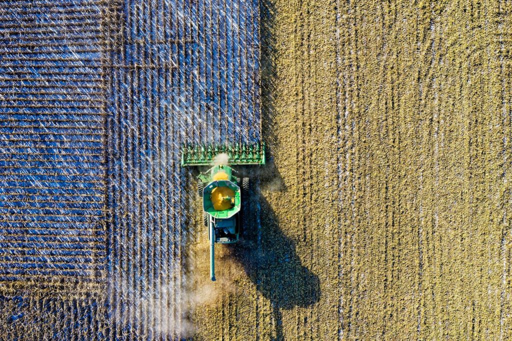
Real-Time Aerial Surveillance and Field Monitoring
Drones can supply unparalleled vantage points, facilitating real-time aerial surveillance of agricultural landscapes. The drones can monitor continuously to identify challenges such as water stagnation, pest infestations, or crop diseases. The timely interference can be based on mitigating risks and ensuring optimal crop health while safeguarding yields and farm profitability.
Livestock Management and Health Assessment
The application beyond crop-centric applications drones can play a vital role in livestock management. When you utilize professional drones to monitor livestock health, track animal moves, and assess pasture conditions. This approach the agriculture ensures the well-being of both crops and livestock, fostering integrated farming practices.
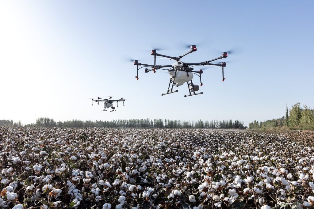
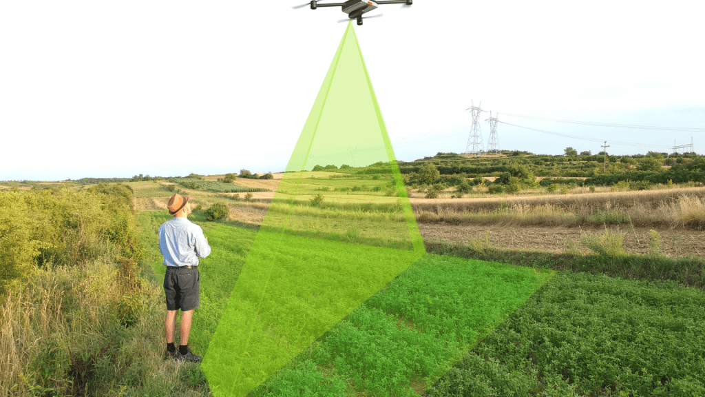
Agriculture drone
Agriculture drones mean to inspect the environment where the farmers can farm. Using drones we can easily monitor farming and get a result quickly. When you inspect farming through a drone every detail has to be known about the farming and we can also find damaged crops using the drone.
We have to analyze all the data of the crop and check the crop health for better quality. When the crop health is damaged then we need to use some additional things to make our crop health better. You can be preserved with your smart farming using agriculture drones.
Best Drones for Agriculture
The best drone for agriculture is given.
CW-007
A portable, integrated UAV platform that delivers exceptional reliability to our customers.
CW-15
Multi-purpose and battery-operated intelligent VTOL drone
CW-25E
Long Endurance Electric Fixed-wing VTOL Drone
PH-20
Heavy Payload Multi-Rotor Drone
CW-30E
Hybrid Gasoline & Battery Long Flight Time UAV
Using Drone Data After A Major Weather Event
A major weather event can decimate a crop and leave you with considerable losses to bear. The aerial photos can help growers and adjusters quantify the damage quickly so that action can be taken to mitigate the loss.
In this situation of extreme crop loss, you should take a crop insurance adjuster. Whenever the adjusters have no time to walk all the sections of a damaged field, so capturing an accurate picture of the loss can be difficult. When the heavy rain destroyed nearly 100 acres of farming that can be health-produced an annotated crop health map of the entire field.
These maps should convince an insurance adjuster to re-inspect the area after an initial loss estimate falls short of expectations. Thanks for providing detailed information through the drone map. The adjuster took a second look at targeted areas and offered a far higher loss percentage and they can recoup an additional $110,0000 in crop losses.
How Much Do Agriculture Drone Services Cost
Agriculture drone service is an array tailored to meet the specific needs of farmers and landlords. The cost of this service is based on many factors like the type of service you want, how much area should be covered, data processing requirements, and monitoring the frequency.
How much approximate cost ranges for different agriculture drone services given:
Aerial Mapping Services:
Basic Aerial Mapping: The costs of Aerial Mapping are between $300 and $1,000 per flight. It can capture high-resolution aerial imagery of fields for basic visual assessment.
Advanced Mapping with Data Analysis: The price range of advanced mapping is $1,000 to $3,000 per flight, this service includes data analysis and specialized data products like ortho mosaic maps and digital elevation models (DEMs).
Crop Monitoring Services:
Basic Crop Monitoring: The basic Range of crop monitoring starts from $500 to $1,500 per flight. It includes capturing images for crop health assessment and may vary based on the area covered and monitoring frequency.
Advanced Monitoring with Data Analysis and Reporting: The costs of advanced crop monitoring are $1,500 and $5,000 per flight, offering in-depth crop monitoring with data analysis, including NDVI mapping, disease detection, and yield forecasting.
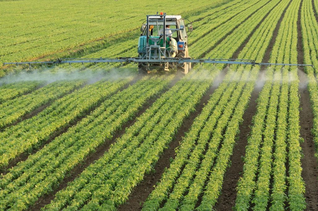
Services for Precision Application and Pest Control:
Costs for Services for Precision Application and Pest Control range from $10 to $50 per acre. The exact cost depends on factors such as chemical type, area size, and complexity of the task.
Services for Reporting and Data Analysis:
The pricing of Services for Reporting and Data Analysis is between $200 and $500 per hour of analysis. The cost can be based on the complexity of the analysis and the volume of data being processed. These services provide insights from drone-collected data.
Continuous Surveillance Services (Seasonal or Annual packages):
Annual monitoring packages vary widely, ranging from $5,000 to $20,000 or more. These packages often cover multiple flights throughout the growing season, comprehensive data analysis, and regular reporting.
DJI Mavic
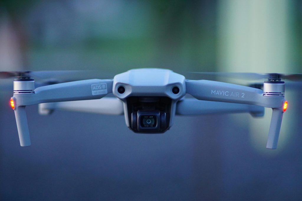
DJl Mavic is a teleoperated compact quadcopter drone for personal and commercial aerial photography and videography use. It can released by Chinese technology company DJI. DJI mini is capable of 4k/30fps video it can offer high-quality videos and photos for more professional-looking content. The Maximum speed of a DJI Mavic is 40mph. These are the series of DJI Mavic such as DJI Mavic 3 Series, DJI RC Pro, DJI 65W Car Charger, DJI Mavic 3 Propeller Guard, and DJI Mavic 3 Series Battery Charging Hub.
Drone Operations Management
Drone operational management is a multi-face practice that can effectively coordinate drone activities in a commercial or industrial company. A drone operation manager has a strong understanding of applicable regulatory companies, fully skilled planning, and safe drone operations.
Drone operations are used for data management and analysis. This is not for flights themselves as the drone collects significant data during each task.
The field of drone operations management is evolving rapidly alongside advancements in drone technology, a changing regulatory landscape, and the utility of replacing legacy processes with drones.
Precision Agriculture
Precision agriculture is farming which is based on observing, measuring, and responding to inter or intra-field variability in crops. Precision agriculture is also referred to as precision farming, satellite agriculture, as you need farming, and site-specific crop management (SSCM).
Precision agriculture is also used in information technology (IT) to ensure that crops and soil receive exact data or information. They need for optimum health and productivity. This also ensures their profitability, sustainability, and protection of the environment. It considers aspects such as soil type, terrain, weather, plant growth, and yield data when managing the crops.
Process to work precision agriculture
Precision agriculture relies upon specialized tools, software, and IT services. Precision Agriculture includes accessing real-time data about the conditions of the crops, soil, and ambient air, along with other relevant information such as hyperlocal weather predictions, labor costs, and equipment availability.
Precision Agriculture collects real-time data in the field to measure the moisture content and temperature of the soil and surrounding air.
Benefits of precision agriculture
Precision Agriculture, When the data is collected, use the predictive analytics software for collected data to provide farmers with guidance about crop rotation, optimal planting times, harvesting times, and soil management.
Precision Agriculture control centers can integrate sensor data and imaging input with other data to provide farmers with the ability to identify fields that require treatment and determine the optimum amount of water, fertilizers, and pesticides to apply.
Precision Agriculture helps the farmer avoid wasting resources and prevent run-off, ensuring that the soil has just the right number of additives for optimum health while also reducing costs and controlling the farm’s environmental impact.
Drone Solution
Drone Solution is the first company that can provide various types of professional and comprehensive services, including basic and sophisticated services, leasing, sales, auctions, education, certification, seminars, fairs, consulting, maintenance, upgrading, innovation, implementation, and surveillance services.
Drone Solutions has natural and juridical persons, businesses, public institutions, associations, agencies, tourists, and individuals.
Drone solution can survey the area and map it with universal drone inspection tools, the process of Drone solution services has 3 phase three phases: the initial, focal, and implementation phases.
Drone Solution can operate in all fields of application such as geodesy and cadastre, construction and mining, energetics, transport and communications, agriculture, water management and forestry, safety and protection, culture and tourism, as well as in other economic sectors and public administration.
The activities that the Drone Solution involves include the production of video recordings, drone inspections, interactive maps, data processing, and distribution of high-resolution materials, as well as the production of business reports and other types of elaborate reports.
The inspection of drone data solutions has become a legal obligation, and international regulatory agencies are constantly pressuring the company to improve infrastructural safety, which has global and ecological importance.
FAQ
What is a Drone in Agriculture?
A drone in agriculture, often referred to as an agricultural drone or UAV (Unmanned Aerial Vehicle), is a specialized aircraft equipped with various sensors, cameras, and data collection tools. These drones are designed for use in farming and agricultural applications. They range from small quadcopters to larger fixed-wing aircraft and are used to monitor crops, livestock, and land, providing valuable data for precision agriculture.
How Many Acres Can a Drone Cover?
The coverage area of an agriculture drone depends on several factors, including its flight time, battery capacity, and the specific mission it’s performing. On average, a drone can cover anywhere from 100 to 500 acres in a single flight, although advanced models with longer flight times can cover larger areas. Keep in mind that the speed of the drone, altitude, and camera specifications also influence coverage.
What is the Range of Agriculture Drone?
Spraying drones in agriculture typically have a range of 1 to 5 kilometers. Specialized mapping drones like JOUAV can cover extensive distances, reaching up to 200 kilometers or more. This extended range is crucial for large-scale mapping and surveying in agriculture.
How Much Does a Spray Drone Cost?
The cost of a spray drone varies widely based on its specifications and capabilities. Entry-level agricultural spray drones can start at around $5,000 to $10,000, while more advanced models equipped with higher payload capacities and precision technology can cost $15,000 or more.
The cost per hectare for drone spraying typically ranges from $10 to $20, depending on factors like the type of crop, the size of the area, the chemicals used, and the drone’s efficiency. However, it’s generally considered cost-effective due to reduced chemical usage and labor savings.