Drone mapping software has become a cornerstone of modern geospatial technology, empowering industries to collect, process, and analyze data with unprecedented speed and precision. From agriculture and construction to environmental monitoring and urban planning, drones and advanced software are reshaping how we understand and interact with the world. As we approach 2025, the landscape of drone mapping software is evolving rapidly, driven by innovations in artificial intelligence (AI), cloud computing, and photogrammetry.
Introduction to Drone Mapping Software
Drone mapping is the process of using unmanned aerial vehicles (UAVs), commonly known as drones, to capture high-resolution aerial images of landscapes, infrastructure, or other areas of interest. These images are then processed using specialized software to create detailed 2D maps, 3D models, and other geospatial data products. The technology primarily relies on photogrammetry stitching together overlapping images to reconstruct a scene or, in some cases, LiDAR (Light Detection and Ranging) for enhanced depth and detail.
Unlike traditional surveying methods, which often require extensive manpower, heavy equipment, and significant time investments, drone mapping offers a faster, more efficient alternative. Drones can access remote or hazardous locations think mountain ranges, disaster zones, or active construction sites providing data that was previously difficult or costly to obtain. By 2025, drone mapping will continue to gain traction across industries, fueled by advancements in both hardware and software capabilities.
For instance, a farmer might deploy a drone to survey hundreds of acres in a single flight, generating a map that reveals irrigation needs or pest infestations. A construction manager could monitor a site’s progress daily, ensuring alignment with blueprints. This scalability and adaptability make drone mapping a transformative tool, and its potential only grows as software evolves.
Why Drone Mapping Software Matters
Drones may serve as the eyes in the sky, but drone mapping software is the brain that transforms raw aerial imagery into actionable insights. The software processes thousands of images, aligns them based on geographic coordinates (often using GPS data), and generates outputs like ortho mosaics (stitched 2D maps), digital surface models (DSMs), and 3D point clouds. These deliverables provide precise measurements, visualizations, and analytics that inform decision-making across diverse fields.
The value of drone mapping software lies in its ability to:
Automate Workflows: By reducing the time and effort required to process data manually, software frees up professionals to focus on analysis rather than tedious tasks.
Improve Accuracy: Modern tools deliver measurements with centimetre-level precision, critical for applications like surveying, engineering, and scientific research.
Enable Collaboration: Teams can share and analyze data seamlessly, whether they’re in the office, on-site, or halfway across the world.
Consider agriculture as an example: farmers use drone-generated maps to monitor crop health, identify areas needing fertilizer, and optimize irrigation saving resources and boosting yields. In construction, site managers track progress, detect deviations, and ensure compliance with plans, all from a single dataset. Environmental scientists rely on drone data to assess deforestation, track coastal erosion, or monitor wildlife habitats. Without robust software, the raw potential of drone-captured imagery would remain locked away, unusable for practical purposes.
In essence, drone mapping software bridges the gap between data collection and real-world application, making it an indispensable part of the drone ecosystem.
The Growing Demand for Advanced Solutions
The adoption of drone technology has skyrocketed in recent years, and with it, the need for sophisticated mapping software has surged. By 2025, industries are demanding tools that can handle larger datasets, integrate seamlessly with existing systems, and provide real-time insights. The rise of AI-driven analytics, cloud-based processing, and high-precision mapping has elevated user expectations, pushing software developers to innovate at a rapid pace.
This growing demand is reflected in market projections. Industry reports suggest the global drone mapping software market is poised for significant growth, driven by applications in infrastructure development, precision agriculture, disaster management, and more. Businesses and governments are investing heavily in drone programs, recognizing their potential to reduce costs, improve efficiency, and enhance safety. For example, a city planning department might use drones to map urban sprawl, while a disaster response team could deploy them to assess flood damage in real-time.
As these use cases expand, the right software becomes a critical factor in maximizing return on investment. Users need tools that not only process data but also deliver insights tailored to their specific needs whether that’s a detailed 3D model for an architect or a real-time progress report for a project manager. This demand is shaping the future of drone mapping, and 2025 promises to be a pivotal year for the technology.
Current Trends in Drone Mapping Technology
The drone mapping software landscape in 2025 is defined by several transformative trends. These advancements are enhancing the capabilities of mapping tools, expanding their applications, and making them more accessible to a broader range of users. Let’s explore the most impactful trends shaping the industry.
AI and Machine Learning Integration
Artificial intelligence (AI) and machine learning (ML) are revolutionizing drone mapping by automating complex tasks and unlocking deeper insights from data. In 2025, these technologies will be integrated into the software to perform functions that once required extensive human intervention. Here’s how AI is making a difference:
Feature Classification: AI can automatically identify and categorize objects in maps and point clouds think buildings, roads, trees, or water bodies. This eliminates hours of manual labelling.
Change Detection: By comparing datasets over time, AI highlights differences, such as construction progress, vegetation growth, or environmental degradation. This is invaluable for monitoring dynamic sites.
Predictive Analytics: Machine learning models analyze historical data to forecast trends, like crop yields, infrastructure wear, or flood risks, providing proactive insights.
Imagine a civil engineer using AI-powered software to detect cracks in a bridge or a farmer identifying stressed plants in a field. These capabilities save time, reduce human error, and make drone mapping accessible to non-experts while delivering advanced tools to professionals. In 2025, AI isn’t just a feature it’s becoming the backbone of next-generation mapping software.
Cloud-Based Solutions and Real-Time Processing
Cloud computing has transformed how drone data is processed, stored, and shared. In 2025, cloud-based platforms are a dominant trend, offering several key advantages:
Speed: Users can upload images to the cloud for processing, bypassing the need for powerful local hardware. This democratizes access to high-end mapping tools.
Real-Time Access: Cloud systems generate maps and models on the fly, enabling immediate decision-making a game-changer for time-sensitive projects.
Collaboration: Teams can share data instantly with colleagues or clients, regardless of location, fostering seamless workflows.
This trend is particularly valuable in scenarios like disaster response, where responders need up-to-date maps of affected areas within hours, or construction monitoring, where delays can escalate costs. Cloud solutions also scale effortlessly, supporting everything from small surveys to sprawling urban mapping initiatives. By 2025, the cloud is no longer an option it’s a necessity for many users.
Enhanced Accuracy and Precision
Accuracy remains a cornerstone of drone mapping, especially for applications requiring exact measurements, such as land surveying, infrastructure inspection, or scientific research. In 2025, the software will achieve sub-centimetre precision through improved photogrammetry algorithms and integration with ground control points (GCPs) physical markers with known coordinates that anchor aerial data to the real world.
For example, some tools now boast Ground Sample Distances (GSD) as low as 1-2 pixels, meaning each pixel in an image represents just a centimetre or two on the ground. This level of detail ensures that every feature whether a fence post, a pipeline, or a tree trunk is captured accurately. Enhanced precision supports emerging applications like digital twin creation, where virtual replicas of physical assets (e.g., bridges, buildings, or entire cities) demand meticulous data.
This focus on accuracy is driven by user needs in regulated industries, where even minor errors can lead to costly rework or legal issues. As drones and software improve, the line between drone mapping and traditional surveying continues to blur, with the former often proving faster and more cost-effective.
Top Drone Mapping Software for 2025
After extensive research, three software options stand out as leaders in drone mapping for 2025: Pix4Dmapper, DroneDeploy, and Esri’s suite (including ArcGIS Drone2Map and Site Scan for ArcGIS). Each excels in distinct areas, catering to a variety of user needs. Below, we dive into their features, strengths, and ideal use cases.
Pix4Dmapper: The Leader in Versatility and Accuracy
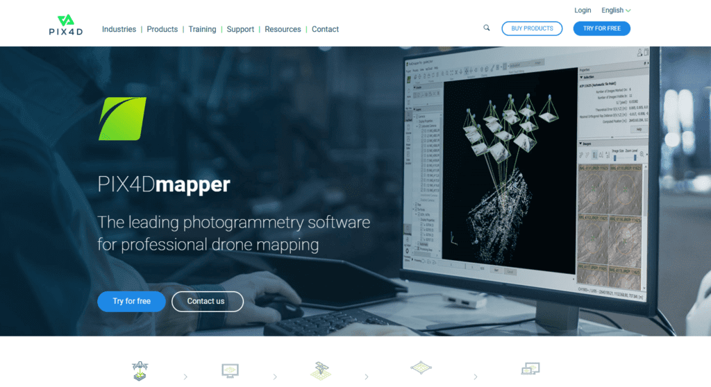
Pix4Dmapper is a powerhouse in the world of photogrammetry, renowned for its precision and flexibility. Used by professionals across industries from surveying to environmental science it’s a top choice for those who need reliable, high-quality outputs.
Key Features of Pix4Dmapper
Multi-Image Compatibility: Processes RGB, thermal, and multispectral images from any drone or camera, making it adaptable to diverse projects.
Survey-Grade Precision: Delivers accuracy with a GSD of 1-2 pixels in X and Y directions and 1-3 pixels in Z, ideal for detailed measurements.
Machine Learning Tools: Automatically classifies point clouds like ground, buildings, and vegetation, reducing manual effort.
End-to-End Workflow: Offers quality control, measurement tools, and export options (e.g., DXF, LAS, TIFF) for seamless project management.
Large-Scale Processing: When paired with PIX4Dmatic, it processes datasets of over 1,000 images 40% faster than traditional methods.
Why Choose Pix4Dmapper?
Pix4Dmapper shines in its ability to handle diverse projects with exceptional accuracy. Surveyors rely on it for topographic maps that meet regulatory standards, while environmentalists use its multispectral capabilities to monitor ecosystems. Its machine-learning features streamline workflows, making it efficient for large or complex datasets. If your work demands versatility and top-tier precision whether you’re mapping a quarry, a forest, or a city Pix4Dmapper is hard to beat.
DroneDeploy: Cloud-Based Efficiency with AI Insights

DroneDeploy is a cloud-based platform that prioritizes ease of use, collaboration, and AI-driven automation. It’s a favourite among teams in construction, agriculture, and site management who need fast, actionable results.
Key Features of DroneDeploy
Data Integration: Combines inputs from drones, 360 cameras, robots, and smartphones for a comprehensive view of a site.
AI Automation: Extracts insights like structural defects, crop health anomalies, or progress updates without manual analysis.
Safety Tools: Reduces the need for on-site inspections by providing detailed digital models, enhancing worker safety.
Unified Platform: Manages data across the asset lifecycle from planning and construction to maintenance and reporting.
Why Choose DroneDeploy?
DroneDeploy is ideal for users who value speed and collaboration. Its cloud-based system allows real-time processing and sharing, making it perfect for dynamic environments like construction sites or agricultural fields. The AI features streamline workflows, delivering insights with minimal effort think spotting a roof leak or tracking earthworks volume in minutes. For teams focused on efficiency, safety, and real-time decision-making, DroneDeploy is a standout choice.
Esri’s Suite: Seamless GIS Integration for Large-Scale Projects
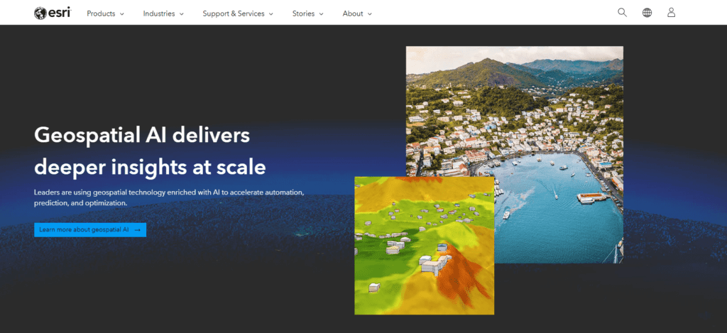
Esri’s drone mapping solutions, including ArcGIS Drone2Map and Site Scan for ArcGIS, are designed for organizations that rely on Geographic Information Systems (GIS). They excel in large-scale mapping and enterprise-level integration, making them a go-to for government and industry giants.
Key Features of Esri’s Suite
Flexible Processing: Supports both cloud and desktop workflows, giving users control over how and where data is processed.
Large-Scale Outputs: Creates orthomosaics, DSMs, and 3D meshes for expansive areas, such as cities or watersheds.
Digital Twin Support: Enables virtual replicas of infrastructure or urban environments, ideal for planning and simulation.
GIS Integration: Seamlessly connects with ArcGIS for advanced analysis, data layering, and enterprise management.
Why Choose Esri’s Suite?
Esri’s suite is the top pick for users embedded in the GIS ecosystem. It’s perfect for government agencies mapping flood zones, urban planners designing smart cities, or enterprises managing sprawling infrastructure networks. The ability to create digital twins and integrate with ArcGIS makes it a powerful tool for long-term planning and analysis. If your organization already uses Esri products or needs to handle massive projects, this suite is a natural fit.
Comparative Analysis of Top Software
To simplify your decision-making, here’s a side-by-side comparison of Pix4Dmapper, DroneDeploy, and Esri’s suite, followed by guidance on selecting the right software for your needs.
Choosing the Right Software for Your Needs
Selecting the best software depends on your priorities:
For Precision and Flexibility: Choose Pix4Dmapper if you need survey-grade accuracy and the ability to process various data types (e.g., thermal, multispectral). It’s suited for professionals across multiple fields, from archaeology to forestry.
For Speed and Teamwork: Opt for DroneDeploy if real-time collaboration and AI-driven insights are critical. It’s ideal for fast-paced industries like construction or agriculture, where decisions need to happen on the spot.
For GIS and Scale: Select Esri’s Suite if you’re part of a GIS workflow or managing large projects. It’s the best choice for enterprise users tackling complex, data-rich initiatives.
To make an informed choice, consider testing each software with a free trial (most offer them) to see how it fits your workflow. Your decision should align with your project goals accuracy, speed, scale, or integration and your team’s technical capabilities.
Other Notable Software and Emerging Trends
Beyond the top three, several other drone mapping software options deserve attention for their niche strengths. Additionally, emerging trends are hinting at the future of the industry. Let’s explore these alternatives and what’s on the horizon.
Agisoft Metashape
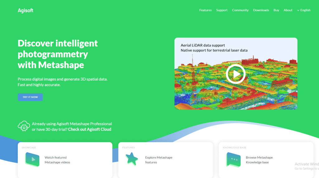
Agisoft Metashape is a photogrammetry tool celebrated for its advanced 3D modelling capabilities. It excels at generating dense point clouds, textured meshes, and detailed models, making it a favourite among archaeologists, architects, and 3D enthusiasts.
Strengths: Robust processing power, high-quality 3D reconstructions.
Drawbacks: Lacks some AI features and real-time capabilities of competitors.
Use Case: Ideal for projects requiring intricate 3D models, like heritage preservation or film production.
Propeller
Propeller targets construction and mining professionals with its site-focused mapping tools. It offers practical features like volume calculations, progress tracking, and integration with drone hardware like DJI models.
Strengths: Intuitive design, industry-specific tools.
Drawbacks: Less versatile for non-site-based applications.
Use Case: Perfect for field teams needing actionable insights, such as quarry managers or civil engineers.
WebODM
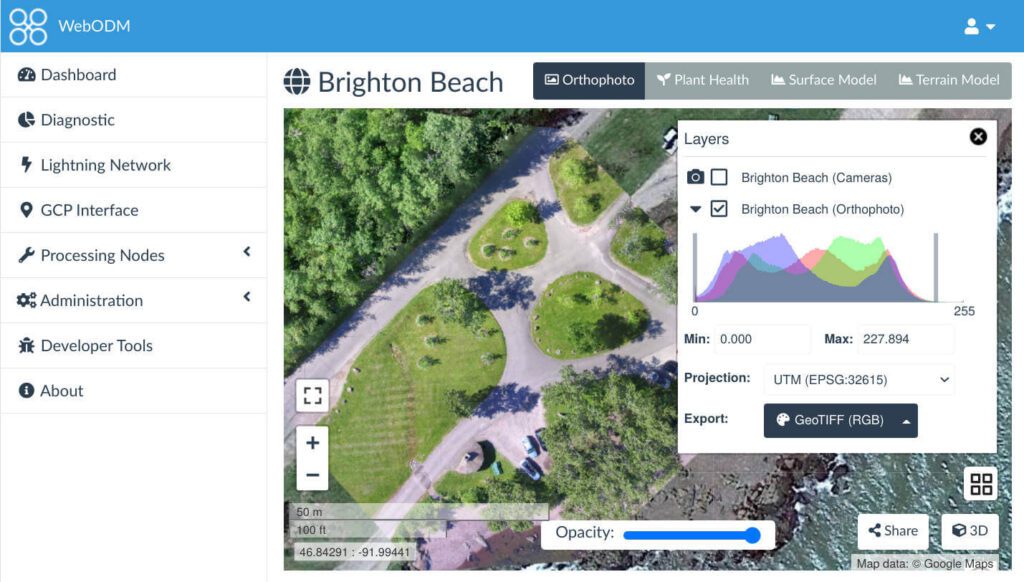
WebODM is an open-source solution for budget-conscious users. It provides basic mapping capabilities orthomosaics, 3D models, and point clouds without the cost of commercial software.
Strengths: Free, customizable for tech-savvy users.
Drawbacks: Limited features and support compared to paid options.
Use Case: A solid starting point for hobbyists, students, or small businesses.
Emerging Trends to Watch
The drone mapping industry is evolving, and several trends are shaping its future:
Real-Time Mapping: Advances in edge computing (processing data on the drone itself) are enabling instant map generation. This is ideal for urgent scenarios like search and rescue or live event monitoring.
AI Automation: Expect further automation in object detection, anomaly identification, and predictive modelling, reducing the skill barrier for users.
Scalability: Tools like PIX4Dmatic are paving the way for processing massive datasets think thousands of images impacting fields like urban development and national surveying.
User Considerations and Recommendations
Choosing the best drone mapping software requires evaluating your unique needs. Here are key factors to consider, along with tailored recommendations:
Assessing Project Requirements
Precision Level: High-accuracy needs (e.g., surveying, engineering) favor Pix4Dmapper; basic mapping for visualization may suit WebODM.
Data Inputs: Ensure the software supports your sensor’s RGB, thermal, multispectral, or LiDAR based on your drone’s capabilities.
Project Size: Small surveys can use DroneDeploy or Propeller, while large-scale efforts benefit from Esri’s suite or PIX4Dmatic.
Budget and Cost-Effectiveness
Pricing Models: Subscription-based options like DroneDeploy offer flexibility for short-term projects; one-time purchases like Agisoft Metashape suit long-term users.
Free Tools: WebODM provides a low-cost entry point, though it sacrifices advanced features and customer support.
ROI: Invest in premium software if your projects demand precision or scale, as time savings and quality often justify the cost.
Integration with Existing Systems
GIS Needs: Esri’s suite is unmatched for ArcGIS users, ensuring smooth data flow within your ecosystem.
Hardware Fit: Check compatibility with your drone and camera (e.g., DJI, Parrot, or custom rigs) to avoid workflow disruptions.
Software Ecosystem: If you use CAD, BIM, or analytics tools, confirm export formats align (e.g., DXF, SHP, LAS).
Recommendation: Start by defining your goals accuracy for a survey, speed for a construction site, scale for a city plan, or cost for a small project. Match these to a software’s strengths, then leverage free trials to test usability and performance. For most users, a hybrid approach using a primary tool like Pix4Dmapper or DroneDeploy and a secondary one like WebODM for smaller tasks offers flexibility.
Conclusion
Drone mapping software in 2025 is a dynamic field, blending cutting-edge technology with practical applications. Pix4Dmapper offers unmatched versatility and precision, making it a go-to for surveyors and scientists. DroneDeploy delivers cloud-based efficiency and AI insights, perfect for construction and agriculture. Esri’s suite excels in GIS integration and scalability, serving enterprise users and urban planners. Beyond these, tools like Agisoft Metashape, Propeller, and WebODM cater to specific niches, while trends like AI automation, real-time mapping, and massive dataset processing signal an exciting future.
The drone software for you depends on your needs. Need pinpoint accuracy for a topographic survey? Pix4Dmapper has you covered. Want real-time updates on a bustling construction site? DroneDeploy is your match. Planning a smart city with GIS data? Esri’s suite is the answer. By exploring these options aligning them with your goals testing them hands-on where possible you’ll unlock the full power of drone mapping in 2025.
As drones become ubiquitous, their software evolves to meet new challenges, from disaster response to sustainable farming. This guide equips you to navigate that future, ensuring you choose a tool that not only meets today’s demands but also prepares you for tomorrow’s opportunities.