PHOTOGRAPHY | VIDEO | VIRTUAL TOURS | 3D VISUALISATIONS | AERIAL IMAGES

Professional Drone Photography Experts ​

We create visual media content with expertise across a full range of services

Industries We Work For

Stunning visuals that will impress your clients and customers
construction drone photography

Construction And Development

Get stunning aerial views of your construction project with our professional drone photography services. Our experienced pilots and photographers use state-of-the-art equipment to capture high-quality images and videos that will help you track progress, identify risks, and communicate with stakeholders.

Industrial

We provide industrial photography services to help businesses and organizations inspect their assets, plan their operations, and market their products. Our services are fast, affordable, and safe.
Industrial uploads
Drone Mapping

Farm/Agriculture

We provide farm and agriculture photography services to help businesses and organizations document their operations, manage their land, and market their products. Our services are fast, affordable, and high-quality.

Energy

We are a team of experienced and professional photographers and videographers who specialize in Energy production Industries. We use state-of-the-art drones and cameras to capture stunning aerial footage of your property, business, or event. We then deliver high-quality, edited videos and photos that will amaze you.

Assets Inspection
Night Man photoshoot

Emergency and Rescue

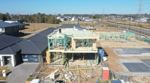
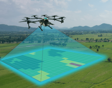
We provide emergency and rescue photography services to help organizations and individuals document and assess damage, plan and execute rescue operations, and communicate with the public. Our services are fast, reliable, and affordable. We are available 24/7 to respond to your needs.

Our Gallary

We are passionate about creating engaging, memorable, and professional videography and photography that is tailored to your audience and reflects your vision.

Our Videos

Our Clients

Our Clients

Why You Should be Using Upload

Upload Media Services is a leading provider of commercial aerial mapping, drone surveys and aerial photography. We are CASA certified and fully insured, and we offer a wide range of services, including Lidar mapping, thermal mapping, multispectral mapping, and orthophotography.

  • Certified and licensed by CASA
  • Public Liability Insurance of $12 Million
  • Professional Liability Insurance of $6 Million
  • Safety assessments for jobs
  • Mine/Construction Spec Vehicles and Full PPE
  • Drone fleet of the future
  • GNSS ground control with PPK precision

Drop your Inquiry Here​