Aerial Media || 3D & Photogrammetry || Aerial Mapping & Surveys || Thermal Imaging || Assets Inspection

Photogrammetry and 3D Model

Affordable and Professional Aerial Data Solution, CASA Licensed and Certified Drone (RPA) Operators

Photogrammetry and 3D Model Photography Services

Drones are easy to use and are a much more affordable option for conducting aerial photogrammetry than using airplanes or helicopters. Drones are also equipped with geotagging technology that automatically embeds geographical data in the pictures’ metadata as it’s being captured.

Drone data which includes altitudinal, longitudinal, and latitudinal measurements is essential to create an accurate 3D model of a subject. With several 3D modelling software platforms on the market, these images are easily converted into a drone 3D model. The accuracy of the 3D models makes it possible to calculate the area, volume, and distance in and around the model.

What is Photogrammetry?

Photogrammetry is the science of extracting real-world measurements and creating 3D models from overlapping photographs. Using our advanced drone platforms and photogrammetry software, we capture high-resolution images from various angles, transforming them into precise, digital replicas.

Drone mapping of school in sydney
Drone Survey

What is a Drone 3D Model?

A drone 3D model refers to a digital spatial model that is created by using aerial images taken by a drone. The process of taking aerial images to make models and maps is called aerial photogrammetry.

Drones are used for aerial photogrammetry to scan landmasses, buildings, construction sites, and anything else at height. These images are then converted into an accurate drone 3D model using 3D modelling software.

Projects on Photogrammetry and 3D Model

Here are few projects we have completed 

What are the benefits of Photogrammetry and 3D Model?

Even the most novice user knows that drones can be used for photography. The availability of unmanned aerial photography has led to its use in many sectors and produced incredible images. But is it good enough for your next mapping or surveying job? Let’s take a look at some of the advantages of using drones for mapping and surveying.

Cost-Effective

Drone 3D modelling can be more cost-effective than traditional surveying or mapping methods. Drones eliminate the need for expensive manned aircraft or extensive ground-based equipment.

Efficiency & Speed

Drones can rapidly capture large areas from the air, significantly reducing the time required for data collection compared to traditional ground-based methods.

Accessibility

Drones reach locations that are challenging or hazardous for humans to access, such as steep terrains, construction sites, or areas affected by natural disasters.

Why use Photogrammetry and 3D Model?

Drones can acquire data from vantage points that are not accessible to humans, especially those areas with challenging terrains. There is no need for human operators to measure points in hazardous locations physically, rather the drone can fly over an area, capturing the same amount of data in a shorter time frame.

For the best drones for land surveying, Upload Enterprise Drones provides a comprehensive drone surveying solution, which has released drones that can carry different functions according to the different needs of users.

Provide Accurate And Reliable Data

Drones capture vast survey data on big projects fast, ideal for measuring and reporting. One flight generates thousands of 3D measurements, easily shown as maps, models, and more.

Ability To Map Inaccessible Areas

Aerial mapping drones are limitless. They can fly almost anywhere – unreachable areas, unsafe steep slopes, or harsh terrain unsuitable for traditional measuring methods.

Safely Track The Progress Of Your Project

Drones give you the ability to monitor the progress of your project from a distance. This is a big step towards a more efficient and safer monitoring process.

Application of Photogrammetry and 3D Model

Drone Photogrammetry like traditional methods, tackle diverse tasks. Boundary marking, historical preservation, and legal documentation are common uses. They also guide construction projects by pinpointing locations and shaping land for buildings, roads, and more.

  • Construction
  • Real Estate
  • Infrastructure Inspection
  • Mining and Quarrying
  • Cultural Heritage Preservation
  • Environmental Monitoring

Projects We Have Worked On

Image Gallery

Our Videos

Trusted By

Our Clients

Frequently Asked Questions

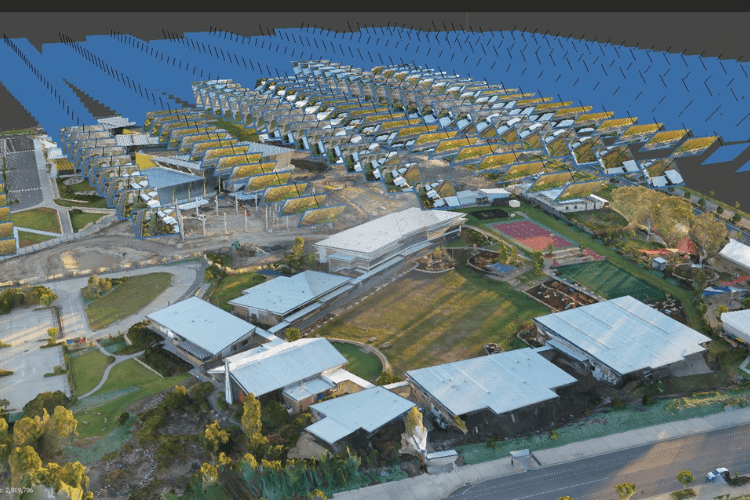
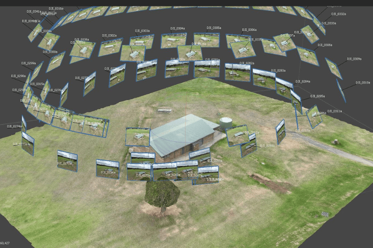
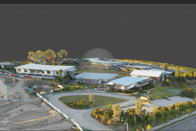
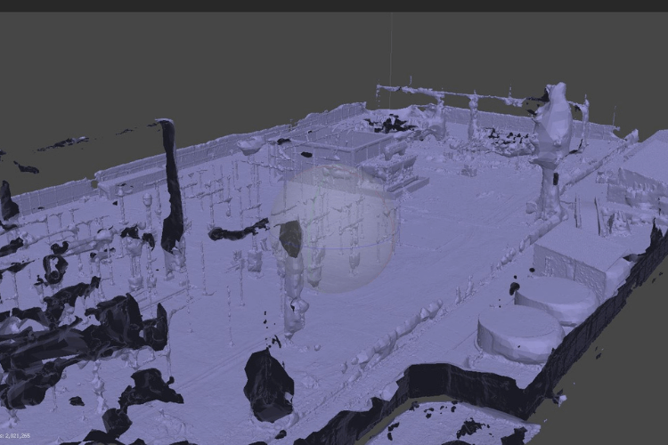
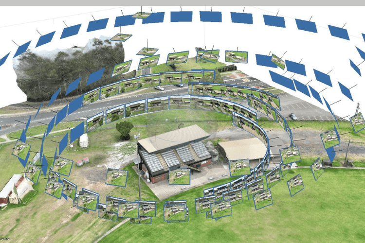
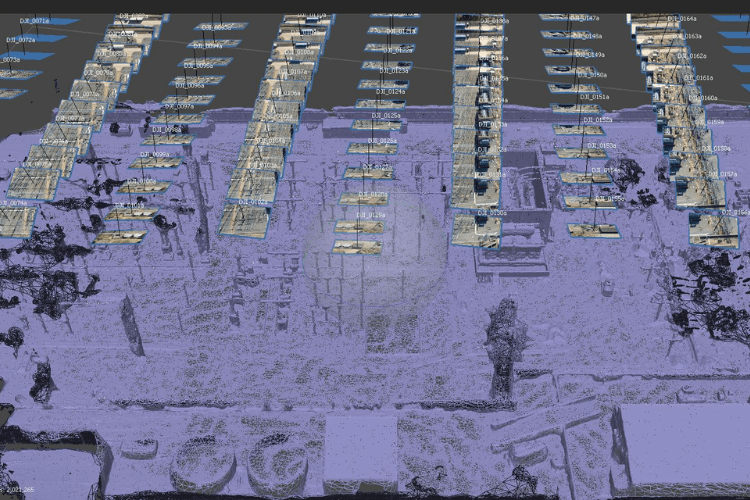
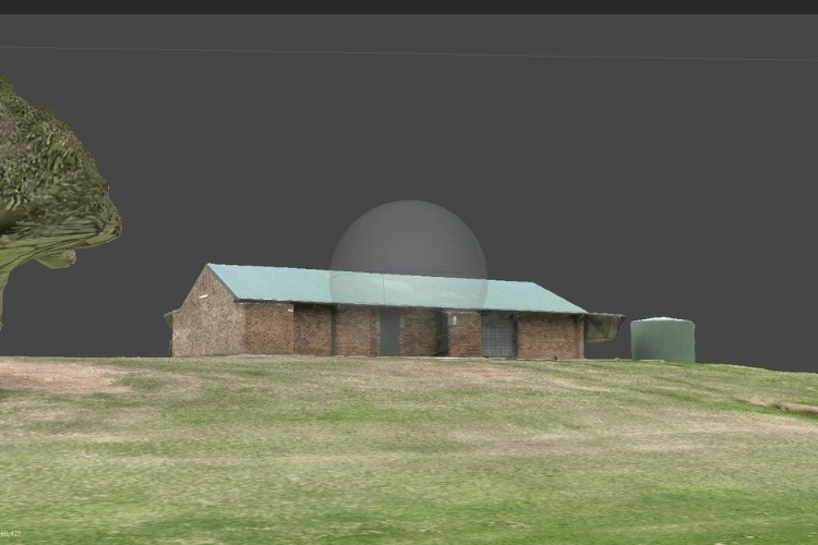
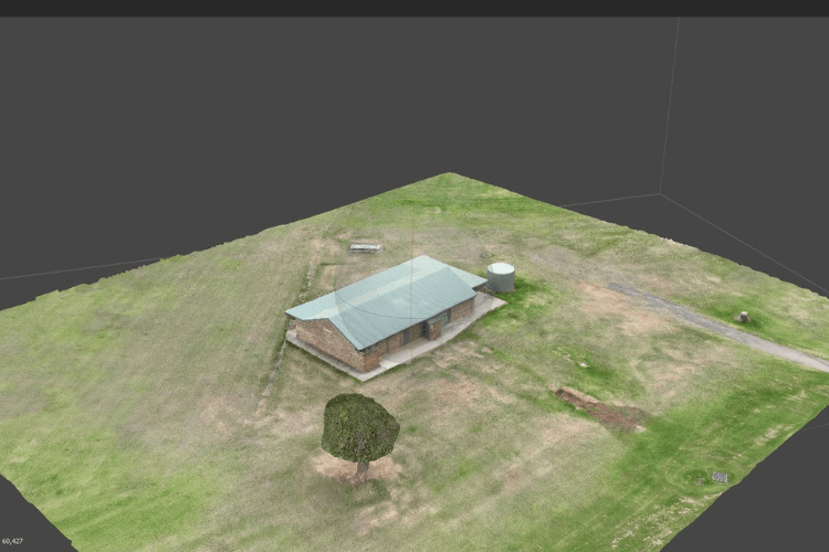
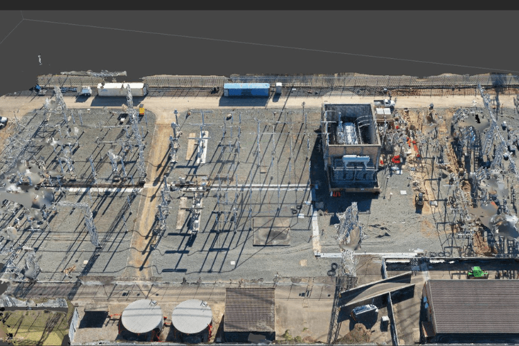
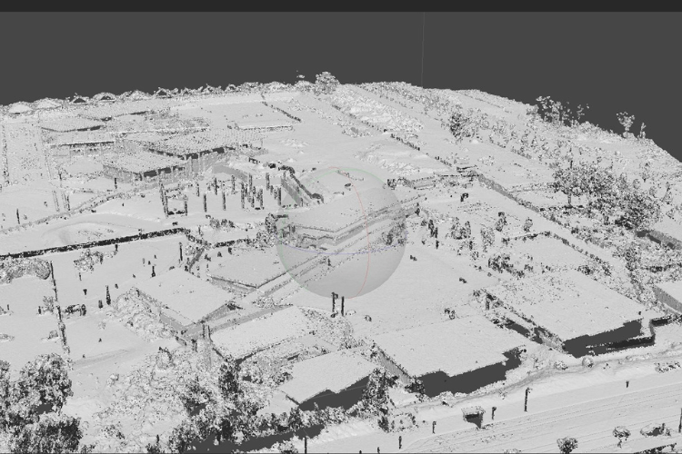
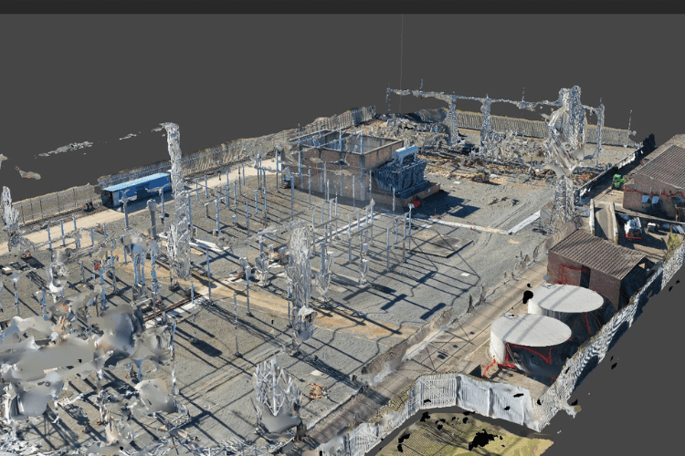
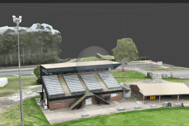
Photogrammetry has a wide range of applications, including in fields such as architecture, construction, archaeology, geology, forestry, and entertainment. It is used for creating 3D models of buildings, landscapes, cultural heritage sites, and more.

Processing time depends on the complexity of the project and the amount of data captured. We provide an estimated turnaround time upon project consultation.

  • Yes, photogrammetry can be used for large-scale projects such as mapping entire landscapes or creating 3D models of large structures. In such cases, aerial photogrammetry using drones or aircraft may be employed to capture the necessary images.

Drop your Inquiry Here​