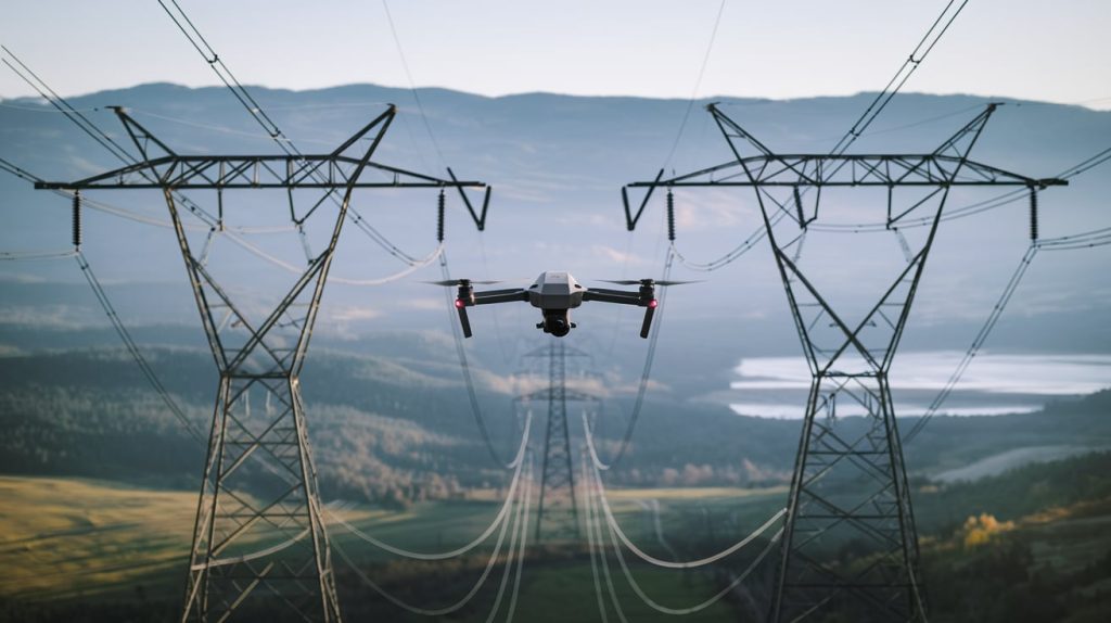
Powerline inspection using drones are revolutionizing utility maintenance by offering a safer, faster, and more cost-effective alternative to traditional methods like climbing poles or using helicopters. As of 2025, advancements in drone technology, sensors, and regulations have made this field more accessible and efficient for drone pilots. This guide provides an in-depth understanding of powerline inspection drones, covering their importance, types, equipment, regulations, techniques, training, and future trends, with practical insights for pilots looking to specialize in this growing industry.
Powerline inspection drones are unmanned aerial vehicles (UAVs) equipped with specialized cameras and sensors designed to inspect electrical powerlines, poles, and related infrastructure. These drones are critical for utility companies to ensure the safety and reliability of electrical grids by identifying issues such as damaged components, vegetation encroachment, or thermal anomalies.
Benefits of Using Drone in Powerline Inspection
Safety: Drones eliminate the need for human inspectors to climb poles or fly in helicopters, reducing the risk of accidents.
Efficiency: They cover large areas quickly, providing real-time data and cutting inspection times.
Cost-Effectiveness: Drones are cheaper to operate than helicopters or manual inspections.
Precision: High-resolution cameras and advanced sensors enable detailed analysis, catching issues early.
For drone pilots, specializing in powerline inspections offers a promising career path as utility companies increasingly adopt this technology.
Types of Drones Used for Powerline Inspections
Several drone types are suited for powerline inspections, each with distinct advantages:
Multirotor Drones: Ideal for close-up inspections due to their stability and hovering capability. Popular models include the DJI Matrice 350 RTK (55-minute flight time, high payload capacity) and Skydio X2 (35 minutes, autonomous flight features), both excelling in precision tasks.
Fixed-Wing Drones: Best for long-range inspections over extensive powerline networks. The senseFly eBee X offers up to 90 minutes of flight time, making it efficient for broad-area mapping, though it lacks hovering ability.
Hybrid Drones (VTOL): Combining vertical takeoff and landing (VTOL) with efficient forward flight, hybrids like the Quantum Systems Trinity F90+ (up to 120 minutes) are versatile for both detailed and long-range inspections.
Choosing the Right Drone: Opt for multirotors for detailed, close-range work, and fixed-wing or hybrid drones for mapping large areas.
Equipment and Sensors
Powerline inspection drones rely on advanced sensors to gather comprehensive data:
High-Resolution Cameras: Essential for visual inspections, cameras like the DJI Zenmuse H20T (4K resolution, zoom capability) capture detailed images of wires, insulators, and connectors from a safe distance.
Thermal Imaging Cameras: Detect temperature anomalies (e.g., overheating components) that signal potential failures. These are vital for spotting loose connections or worn cables.
LiDAR (Light Detection and Ranging): Provides 3D mapping for precise measurements of powerline height, distance to obstacles, and vegetation analysis. The DJI Zenmuse L2 is a cutting-edge option in 2025.
GPS and RTK (Real-Time Kinematic): Ensure accurate geotagging and navigation. RTK-enabled drones like the DJI Matrice 350 RTK offer centimeter-level precision.
Obstacle Avoidance Systems: Critical for safe flight near powerlines, systems like the Matrice 350 RTK’s 6-directional sensing prevent collisions with structures or vegetation.
Practical Tip: Ensure sensor compatibility with your drone. The DJI Matrice series supports diverse payloads, making it a versatile choice.
Regulations and Certifications
Drone pilots must adhere to legal requirements and obtain certifications:
CASA Remote Drone Pilot Certificate: Required for commercial drone operations in the Australia, this involves passing an exam on airspace, weather, and drone rules.
Additional Certifications: Utility-specific training or certifications in thermal imaging or LiDAR can boost qualifications, sometimes required by clients.
Flight Near Powerlines: Pilots typically need to maintain visual line of sight (VLOS), though 2025 regulatory shifts are easing Beyond Visual Line of Sight (BVLOS) restrictions with waivers. Obtain utility company permissions and follow safety protocols.
Safety Considerations: Electromagnetic interference from powerlines can disrupt navigation—use drones with anti-magnetic features (e.g., DJI Matrice 350 RTK).
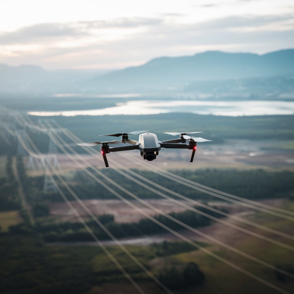
Powerline Inspection Techniques Using Drone
Effective powerline inspections demand careful planning and execution are given below…
Flight Path Planning: Use GIS software or drone apps to map routes, avoiding obstacles like trees. Automated modes like the DJI Matrice 350 RTK’s Powerline Follow maintain safe distances while capturing data. it also help in mobile network tower inspection.
Data Capture: Fly 10-20 meters above powerlines, using zoom for detailed shots. Conduct thermal imaging in cooler conditions for optimal contrast.
Automated Flight Modes: Leverage pre-programmed routes for consistency and safety.
Safety Measures: Keep at least 5 meters from powerlines, avoid bad weather, and use apps like UAV Forecast for real-time weather monitoring.
Data Collection and Analysis for Powerline Inspection using Drones
Post-flight, data is processed and analyzed with specialized tools are listed bellow.
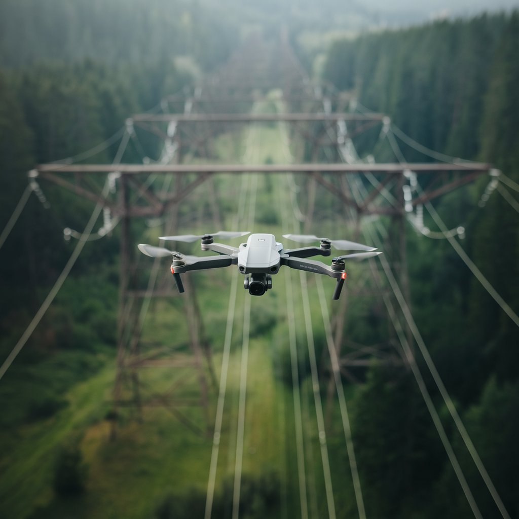
Image Stitching and Mapping: Software like DJI Terra creates orthomosaic maps and 3D models for structural analysis.
Thermal Analysis: Tools like FLIR Tools or DJI Thermal Analysis Tool identify anomalies in thermal images.
AI and Machine Learning: Platforms like Optelos or Scopito automate defect detection (e.g., corrosion, vegetation issues), enhancing efficiency.
Reporting: Produce detailed, geotagged reports for clients, shareable via cloud platforms or integrated into systems like SAP.
Future Trends for 2025 and Beyond
Emerging trends in 2025 are shaping the industry:
Autonomous Drones: AI advancements enable drones to navigate and inspect independently, with innovations like powerline-recharging drones emerging.
Improved Sensors: Higher-resolution cameras, sensitive thermal imagers, and advanced LiDAR (e.g., DJI Zenmuse L2) enhance inspection detail.
BVLOS Operations: Regulatory changes are expanding BVLOS capabilities, allowing longer-range inspections without visual oversight.
AI-Driven Analysis: AI tools will automate defect detection and predictive maintenance, reducing human workload.
IoT Integration: Drones will feed real-time data into utility IoT systems for proactive maintenance.
Conclusion
Powerline inspection drones are transforming utility maintenance, offering drone pilots a dynamic career field. By mastering the drones, equipment, regulations, and techniques outlined in this guide, pilots can become invaluable to utility companies. Staying ahead of 2025 trends like autonomous flight and AI analysis will ensure long-term success. Invest in training, choose the right tools, and keep abreast of regulatory changes to thrive in this evolving industry.