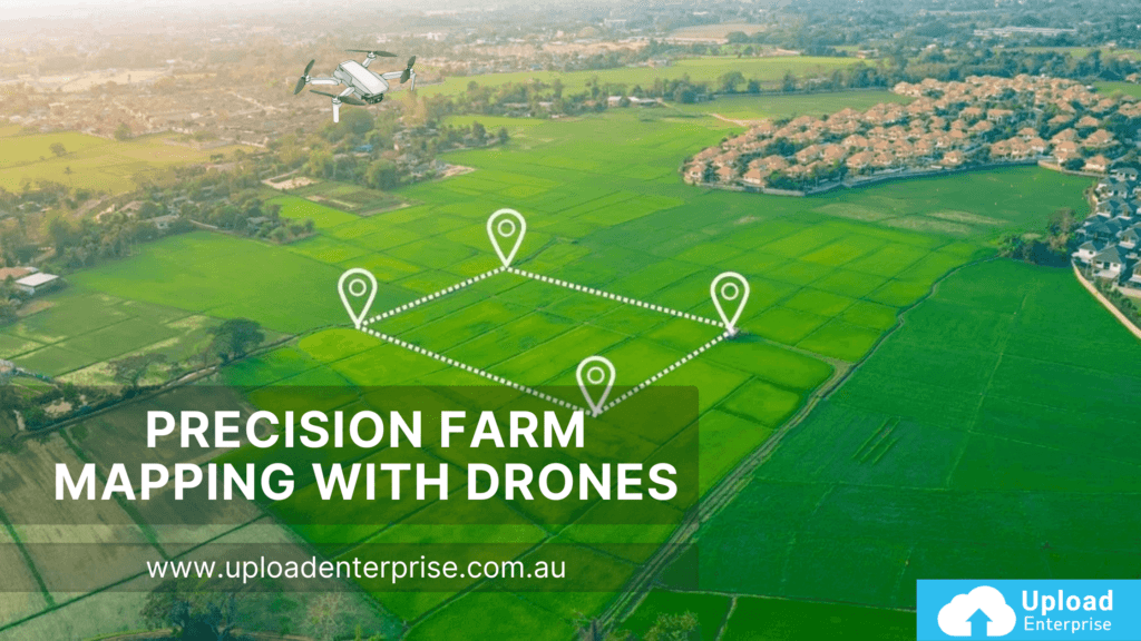
In the ever-evolving world of Australian agriculture, precision farm mapping with drones is transforming how farmers manage their land, boost productivity, and embrace sustainability. At Upload Enterprise, we’re passionate about helping businesses harness this cutting-edge technology to overcome the unique challenges of Australia’s vast and diverse farming landscape. From monitoring crop health to optimizing water use, drones are paving the way for smarter, more efficient farming practices. In this article, we’ll dive into the power of precision farm mapping, the technology behind it, and why it’s a game-changer for Australian agriculture.
What is Precision Farm Mapping?
Precision farm mapping uses drones equipped with advanced sensors to collect detailed data about crops, soil, and field conditions. This data is transformed into actionable maps that allow farmers to pinpoint areas needing attention whether it’s irrigation, fertilization, or pest control. In Australia, where farms often span thousands of hectares across remote regions, drones provide a fast, cost-effective alternative to traditional surveying methods. For businesses like those supported by Upload Enterprise, this technology is key to staying competitive in a demanding industry.
Why does this matter? With agriculture contributing over $70 billion annually to Australia’s economy, precision tools like drones are essential for maximizing yields while minimizing environmental impact. Let’s explore how this technology works and its real-world benefits.
The Technology Powering Precision Farm Mapping
Drones aren’t just flying cameras they’re sophisticated tools packed with sensors tailored for agriculture. Here’s a look at the key technologies driving precision farm mapping:
RGB Cameras: These capture high-resolution images, perfect for visual inspections and basic mapping.
Multispectral Cameras: By analyzing light reflection across multiple wavelengths, they reveal crop health insights invisible to the naked eye.
Hyperspectral Cameras: Offering even deeper data, these are ideal for detecting subtle changes in plant conditions.
Thermal Sensors: These identify temperature variations, helping farmers spot water stress or pest issues early.
LiDAR: Used for 3D modeling, LiDAR maps soil elevation and drainage patterns with precision.
Once collected, this data is processed using software like DroneDeploy or Pix4Dfields. These platforms turn raw information into detailed maps and reports, empowering farmers to make informed decisions. At UploadEnterprise.com.au, we connect businesses with the right tools and expertise to leverage these technologies effectively.
Real-World Applications in Australian Agriculture
Drones are already making waves across Australia’s diverse agricultural regions. Here are some standout applications:
Crop Health Monitoring: Multispectral sensors detect early signs of disease or nutrient deficiencies. For instance, a cotton farm in Victoria slashed chemical use by 40% using drone-guided precision spraying.
Precision Spraying: Drones deliver fertilizers and pesticides only where needed, cutting waste and protecting the environment.
Soil and Water Management: By mapping soil moisture and elevation, drones help optimize irrigation. A Western Australian wheat farm reduced water usage by 20% thanks to drone insights.
Livestock Tracking: On vast pastoral properties, drones monitor herd health and movement, saving time and resources.
From Queensland’s sugarcane fields to South Australia’s vineyards, precision farm mapping adapts to every crop and climate. UploadEnterprise.com.au is here to help businesses tap into these practical solutions.
A Growing Market with Huge Potential
The Australian agricultural drone market is on an upward trajectory, valued at USD 33.9 million in 2023 and projected to reach USD 691.4 million by 2033, with a CAGR of 35.19% (Spherical Insights). Currently, about 10% of agricultural businesses use drones, but adoption is accelerating as costs drop and awareness grows.
Leading companies like Oztech Drones and XAG Australia are driving innovation, while partnerships with providers like UploadEnterprise.com.au make drone technology accessible to farms of all sizes. This growth signals a prime opportunity for businesses to invest in precision farm mapping and gain a competitive edge.
Navigating Australia’s Drone Regulations
Operating drones in Australia requires compliance with the Civil Aviation Safety Authority (CASA). Key rules include:
Recreational Use: Fly during daylight, below 120 meters, and within visual line-of-sight.
Commercial Use: Obtain a Remote Pilot License (RePL) and adhere to state-specific regulations, especially for spraying.
Regulations evolve, so staying informed is critical. Visit CASA’s drone rules for the latest updates. We guide businesses through compliance to ensure smooth, legal operations.
Overcoming Challenges, Seizing Opportunities
While drones offer transformative benefits, adoption comes with hurdles:
Cost: Upfront investment in drones and software can be steep.
Expertise: Operating drones and analyzing data requires training.
Weather: High winds or rain can limit flight time.
These challenges are manageable. Partnering with experienced providers like UploadEnterprise.com.au offers access to technical support and training. Plus, a cost-benefit analysis often reveals long-term savings think reduced water, fertilizer, and labor costs. The opportunities higher yields, sustainability, and scalability far outweigh the obstacles.
Tailoring Drone Use to Australia’s Regions
Australia’s agricultural landscape varies widely, from arid outback plains to fertile coastal valleys. This diversity impacts drone effectiveness:
Arid Regions: Thermal sensors excel at detecting water stress in dry climates like Western Australia.
Fertile Zones: Multispectral cameras shine in lush areas like Tasmania, where dense crops need close monitoring.
Understanding regional needs is key to maximizing drone benefits. UploadEnterprise.com.au helps businesses choose the right tools for their specific terrain and crops.
Why Australian Businesses Should Act Now
Precision farm mapping with drones isn’t just a trend it’s the future of farming. Benefits include:
Efficiency: Survey large areas in hours, not days.
Sustainability: Cut resource use and environmental impact.
Scalability: Works for small family farms and large enterprises alike.
With the market booming and technology advancing, early adopters will lead the pack. UploadEnterprise.com.au is your partner in making this leap, offering tailored solutions to elevate your farm’s potential.
Conclusion: The Future of Farming is Here
Precision farm mapping with drones is revolutionizing Australian agriculture, delivering unmatched insights and efficiency. From tackling vast distances to adapting to diverse climates, this technology empowers farmers to thrive in a competitive world. As the industry grows, businesses that embrace drones now will reap the rewards of innovation and sustainability.
Ready to transform your farm? Contact UploadEnterprise.com.au today to explore how precision farm mapping with drones can take your operations to new heights.

wer5sz